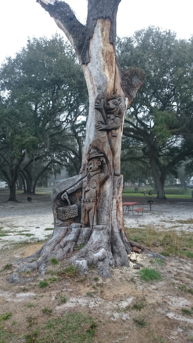
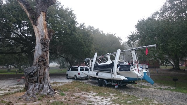
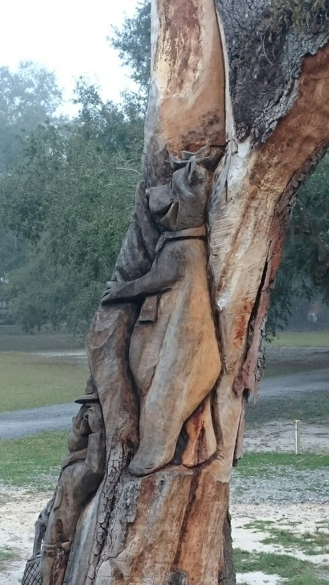
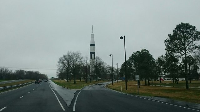
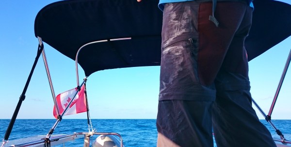
Normally when we drive to Florida, it takes about 24 hours to get to South central Florida. However with this big load we are hauling over the Appalachian mountain range, we are taking things a bit easily.We decided to take I-65 part of the way hoping for good roads and more gentle Hills. But first we deeked around Detroit to end up on I-75 near Monroe, Michigan where the highway was absolutely terrible!! We breathed a huge sigh of relief when hit Ohio! Poor boat.We carried on along the relatively flat Ohio farmlands and amused ourselves with tales from the very informative “Along I-75” book. The author has travelled this route to Florida and the book is full of great info about all sections of this route.We deeked around Cincinnati too and to our surprise, ended up in a corner of Indiana! We crossed the Ohio River and bam….We were in Kentucky!So began our journey into the American South… Where food is often battered and deep fried. Gravy is a legitimate side dish and grits are derigeur for breakfast. Grits are like Cream of wheat by the way. 😉We were kicked out a rest stop in Tennessee as the fellow suspected we were there to sleep for a bit. He was right but still…After two days of driving we arrived at a favourite campground just beside I-10 near Madison, the Ragan Family Campground. Lots of big camper parking under big old live oaks and friendly staff. UT was a Yogi Bear Park before and carvings with Yogi and friends are still in the old stumps.After a great sleep in the boat, onward we roll!
When we rescued our F31 Trimaran in the Bahamas, it had a small Watermaker installed. We never powered it up during that adventure so we never knew if it worked.
Jim did a little work on it this winter and finally got it going. It seems to work and we are so excited!
You see, a Watermaker is a reverse osmosis machine which will remove the salt from seawater and turn it into fresh, drinkable water. This machine runs on 12 volts and is supposed to produce 6 Litres (1.5 Gallons) of water per hour. It can even be used manually if for some reason you run out of power, though we do have good solar power and we carry a tiny generator too….just in case.
This little R-o machine, if it works as it should, will allow us to stay at anchor longer without having to worry about going into town to buy water. Now all we need to do is learn how to fish and forage for greens in the Bahamas!!
Planning for a cruise usually begins months (or even years) in advance. This winter, we are planning to spend a couple of months cruising The Bahamas with our 31′ trimaran Thunderstruck. Our winter is a great time to dream about slicing through turquoise waters and soaking up the warmth of the tropics.
So it’s Groundhog Day in North America and our various weather-predicting rodents here in Canada seem to be divided as to whether there will be an early Spring. First out of the gate was Nova Scotia’s Shubenacadie Sam. Sam apparently saw his shadow which means at least 6 more weeks of winter! Bummer for you Atlantic Canadians.
But, both Fred La Marmotte in Quebec and Wiarton Willie here in Ontario failed to see their shadows…a harbinger of an early Spring! Who to believe? This “Upper Canadian” is going to go with Fred and Willie’s call. Hopefully they are correct. 🤞
In the past couple of months we’ve been slowly preparing for a trip over to The Bahamas. We were waiting for my Teaching semester to be over (it is!!) and for one essential part to come in in order to fix our jib furler (picking it up tomorrow!). Another part for our water maker is also on its way. So once these parts are installed, we can start packing the boat.
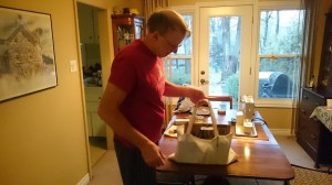
Jim also tried to fix an issue with one of our main sheet blocks. We have a 12:1 purchase on our main because there is no winch to grind the sail in. One of the blocks has a sticky ratchet so Jim tried to loosen it in various ways…no dice. You’ll see it and some of the main sheet (the red line used to pull in the sail) in a pot on the stove in the pictures below. It’s not a real safety issue or anything so no worries.
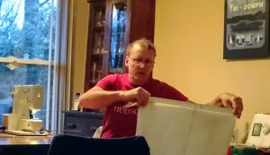
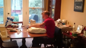
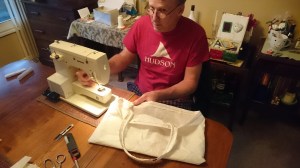
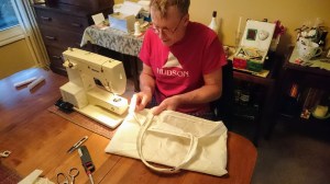
My jack of all trades even felt the need to sew up a cockpit cushion one day! Impressive! This led to the rather rapid construction of what I refer to as his “Man Bag” though he seems to think it is a tote. We also sewed up a filler to go between the Dodger (shade cover with windows at the front of the cockpit) and the Bimini (shade cover at the rear of the cockpit). The filler is also blue Sunbrella outdoor fabric and will be used when we are at anchor or at a dock.
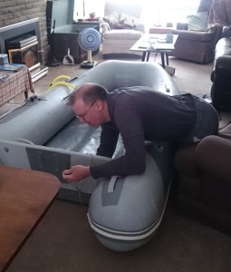
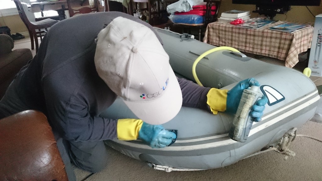
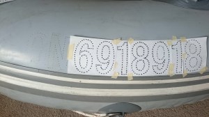
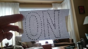
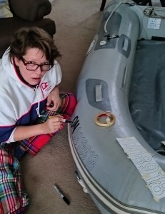
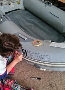
I decided to license our inflatable dinghy with the Canadian government so that we are legal in Florida! We’ve heard that they can be sticky on boat registrations in that state. So I printed our official numbers and drew them onto the dinghy with a sharpie! So easy.
Other things we have to prepare are lists and copies of important documents as well as an inventory of what we have aboard.
It feels like a lot of work sometimes but over the years, getting ready for a cruise has actually gotten easier. If you are going for two weeks or for two months, the prep is just about the same.
It’s been a while since we’ve posted to our blog. Life got busy and here we are…
We will catch you up with our adventures on the water over the past two years though if you follow us on Instagram or Facebook, you’ll be in the loop.
Basically Jim worked on getting the remaining leaks on 31′ Trimaran fixed. We launched her last August (2018) with fingers crossed and found that we still had a bit of water trickling in below the galley (midship, starboard side). Dang. We cruised her in the North Channel for four weeks regardless and had a blast.
We got her home (and believe me, there is more to this story!!) and plugged away at the remaining leaks until we put her to bed for the winter in a friend’s barn.
This past February we joined some friends on a bareboat charter in the British Virgin Islands. It was super to sail down there and we had a great time.
This past summer we spent five weeks aboard the 31 and as she was now a dry boat inside, we felt good having guests. My Mom joined us for 10 days and our buddy Mark was aboard after that for a week. Such fun.
As you can imagine, we didn’t use the 22′ Trimaran “Raise a Little Hull” as much. But Jim raced her at Fanshawe Yacht Club and we were pleased to take friends and family out for a sail here and there.
Now we are preparing to take the 31 to the Bahamas in February and March once I’m done teaching at the end of this semester! So stay tuned… I promise that much more is to come.
Cheers and Fair Winds for 2020!
Carleen and Jim
(the self-proclaimed Griswold Wannabees house down the road!!)
Wow …. it’s already over a year since our Bahamian rescue mission!! I must sincerely apologize if you have been waiting for Part 4 of the Rest of our Adventure. So much has happened in the interim since I last wrote on our blog. I guess I’ll just say that sometimes life just gets in the way. But enough shilly shallying, let’s go back to the Bahamas!
Rose Island to the Berry Islands – about 40 nautical miles
Our goal after leaving Rose Island was Chub Cay in The Berry Islands group which lie east of Bimini and west of New Providence Island where Nassau is located. As we reached along, we reached speeds of about 8 -10 knots on average. The water colour turned a deep blue-violet, a sure sign of very deep water. At one point, our chart indicated 3000 metres of depth! Rain had been predicted in the morning but though it was overcast for a time, the sky stayed dry. Soon the sun came out and a gentle swell, along with brisk north-east winds, propelled us westward along on a steady tack to the Berrys.
Here is a short clip of our sail that day.
We had a lovely, breezy sail toward Chub Cay until the winds came around later in the day to “on the nose”. We decided to cut our passage short and headed into Whale Cay instead. Though not as far west as we had hoped, we wanted to get into the anchorage while the sun was high enough to see the shallows in the water. We didn’t need any more holes in the hull!
We saw that an anchorage was marked on the chart between the southern tip of Whale Cay and Bird Cay just below Cat Cay (remember, that “cay” is pronounced “key”). The depths were pretty shallow beyond the marked anchorage but we knew we could ride in a meter of water even with the tides. But we had to have a careful look at the bottom. Was it rocky, weedy, sandy? We doused the sails and motored around trying to find the best spot out of the west wind. Charts are good but one always has to use visual navigation where it can be shallow. The sand bars can move all the time and dark sea grass can be mistaken for rock or coral sometimes! The islands in the Bahamas are all pretty low so even a chunk of mast sticking up 45′ into the wind can act as a sail! So windage is a consideration as well. Paul and I eventually jumped into the dinghy to scout out a site. Finally we decided on a spot just east of Bird Cay over a smooth patch of sand.
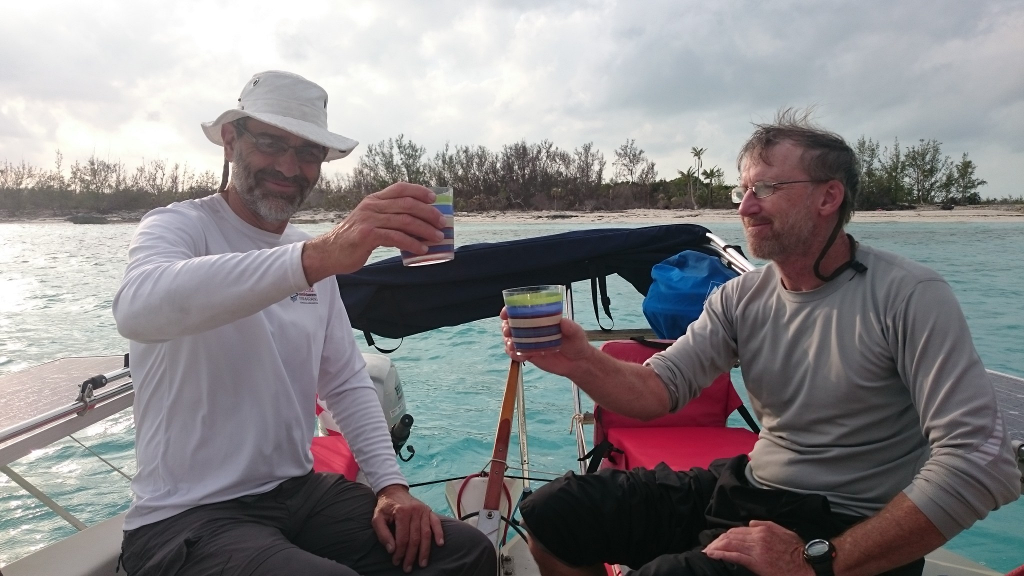
As Happy Hour rolled by, we enjoyed a cocktail in the cockpit and gazed at our first glimpse of damage from Hurricane Matthew which had struck the western Bahamas in October of 2016. On Bird Cay we could see trees that had been thrown over or snapped off by the strong winds. Parts of the ground cover looked as though it had been rolled up and pushed back. Debris lined the shore here and there. Though this is a pretty barren island, it was sad nonetheless.
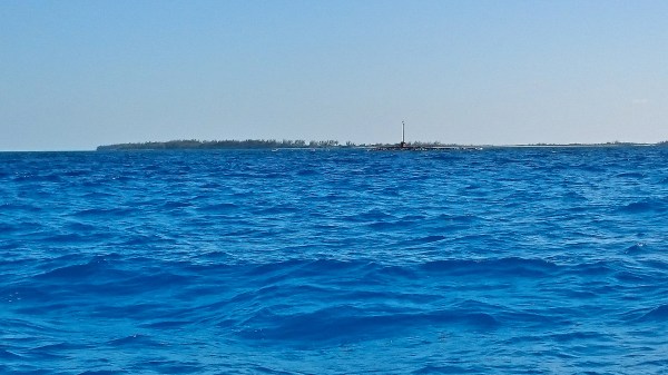
The next day, we sailed “around the corner” to Chub Cay. Chub is a popular fishing resort which according to our cruising guides had a restaurant, a laundromat, fuel, ice, etc. Everything a cruiser could need. And boy did we need ice! As I recall, we had tried to get ice at Palm Cay marina on New Providence Island. But the small store was closed (at 3:30! we are so spoiled in our culture) and all we could buy was some fresh water. We still had some frozen meat in our cooler that we had brought from Ft. Lauderdale on February 6 and had not yet used on our adventures! Though at this point, I’m not sure frozen was the correct term.
As we approached Chub Cay, we began to see damaged villas at the resort and piles of housing debris on the land. There were odd empty spaces where it seemed a villa may have been, or perhaps a stand of palm trees. Things looked kind of bleak. Then we sailed near to the entrance of the marina but it was chained off with large red floats holding up the chain as a barrier. Uh oh! Now what? I turned on my cell hoping for a signal. Sure enough, Google let us know that Chub Cay marina was closed until further notice. Dang.
I wrote about our tour of poor devastated Chub Cay in my February 19, 2017 post but I want to give another shout out to the local worker Dan who managed to scrounge us up 10 pounds of Ice…for free! We obviously gave him a little something for his efforts and proceeded to have a lovely barbequed turkey in a bag meal later that night. If you’d like to see what Chub Cay looks like now, I believe they re-opened this past summer. Here is a link to their website http://www.chubcayresortandmarina.com/
Our crossing to Bimini to the west began at dawn. It was a beautiful sunrise. We basically sailed across the shallow Bahama Bank for 80 nautical miles on one tack. It was an absolutely gorgeous sailing day. We hit our top speed of 14 knots and the guys were very happy with that. I wrote about this trip in some detail on the “Yes it can be done” post of February 21, 2017. What I didn’t mention was that many cruisers don’t make this jump in one day. Because a lot of cruising sailboats only sail at 4-6 knots on average, this is not a day trip, especially for those who don’t like to sail at night. Some cruisers will opt to anchor for the night on the Bank just out of any shipping channels. As our average speed that day was about 8-10 knots, we were pretty confident we could reach Bimini during daylight. Which we did. It took us around 10 or 11 hours to reach Bimini where we tied up to the dock at Weech’s Marina.
It turned out that the winds were to blow really hard from the East for the next several days. The big local fishing trawler was carefully turned into the wind at her dock and most of the cruisers who could leave did so as the east side of Bimini is pretty unprotected. We moved to the very protected Bimini Sands Marina the next day as the wind was already starting to howl. We docked in the nick of time as pouring rain drenched the area. We were grateful to be snug and secure as the marina is protected on almost 4 sides! We stayed there for a couple of days and enjoyed our time walking the island in the stiff winds and visiting the Shark Research Lab which is often featured on shark documentaries during Shark Week on TV!
Soon we’d try to make our way out and head westward to Florida….or so we thought.
Here are some pictures and video from that passage. Stay tuned to more details from our Adventures coming up in Part 5: “Almost There or Not Sunk Yet!”
Hi there! It seems like forever since I (Carleen) was in Florida blogging about our adventures. Since then, there’s been a lot of water under the bridge as it were…most of it good. I had a really great time in Florida with my sister’s family on the Gulf Coast, got in some “girl time” with my Mom in Florida and on our Road Trip home, spent time with more relatives in NC and BC, endured three horrible weeks in May and June with a terrible cold, and best of all, returned home to the nicest guy in the world. I am truly lucky (except for catching that awful cold. I apologize again to my dear family in BC who I passed it on to!)
So I have to catch up a bit. I am now working on the more-detailed posts about the final legs home from the Bahamas as well as the continuing saga of our newly acquired F-31 Trimaran and her repairs/mods etc.
Two days ago the fam went to Gasparilla Island State Park near the village of Boca Grande. There are some rocks near an old pier where the snorkeling is pretty good. We saw crabs, small fish and some interesting shells. There was quite a current flowing southward along the beach toward Boca Grande pass as well. It was fun to do a snorkel drift by swimming north and drifting south!
The winds have been really strong down here for over a week and on our beach day, they finally calmed down a little. But as we had found, each day the wind swung from east to west like clockwork bringing clouds in the late afternoon This day, the same thing happened so the waves built up as did the silt in the water.
There were also two manatees which patrolled the beach. They were the star attractions for the beach goers that day. The water was pretty clear and you could easily see their dark shapes gliding along the sandy shoreline. Now and then you could spot their whiskered snouts above the water as they came up to breathe.
I could see one of the manatees coming from quite a distance so I grabbed my underwater camera, mask and snorkel and sprinted into the water. I kicked out about 40′ from shore. I had to put the brakes on when a large shape came out of the silty gloom almost beside me. I was in awe as it had a quick glance at me as it slowly passed by. I don’t like the idea of organized “swims with manatees” or dolphins for that matter. And I won’t touch one on purpose either. I kept a respectful distance (I hope) and filmed it as it swam by. What a great experience.
Sadly, we didn’t see any dolphins that day. Sometimes we see them hunting near the Pass and along the shore but not that day. Oh well…
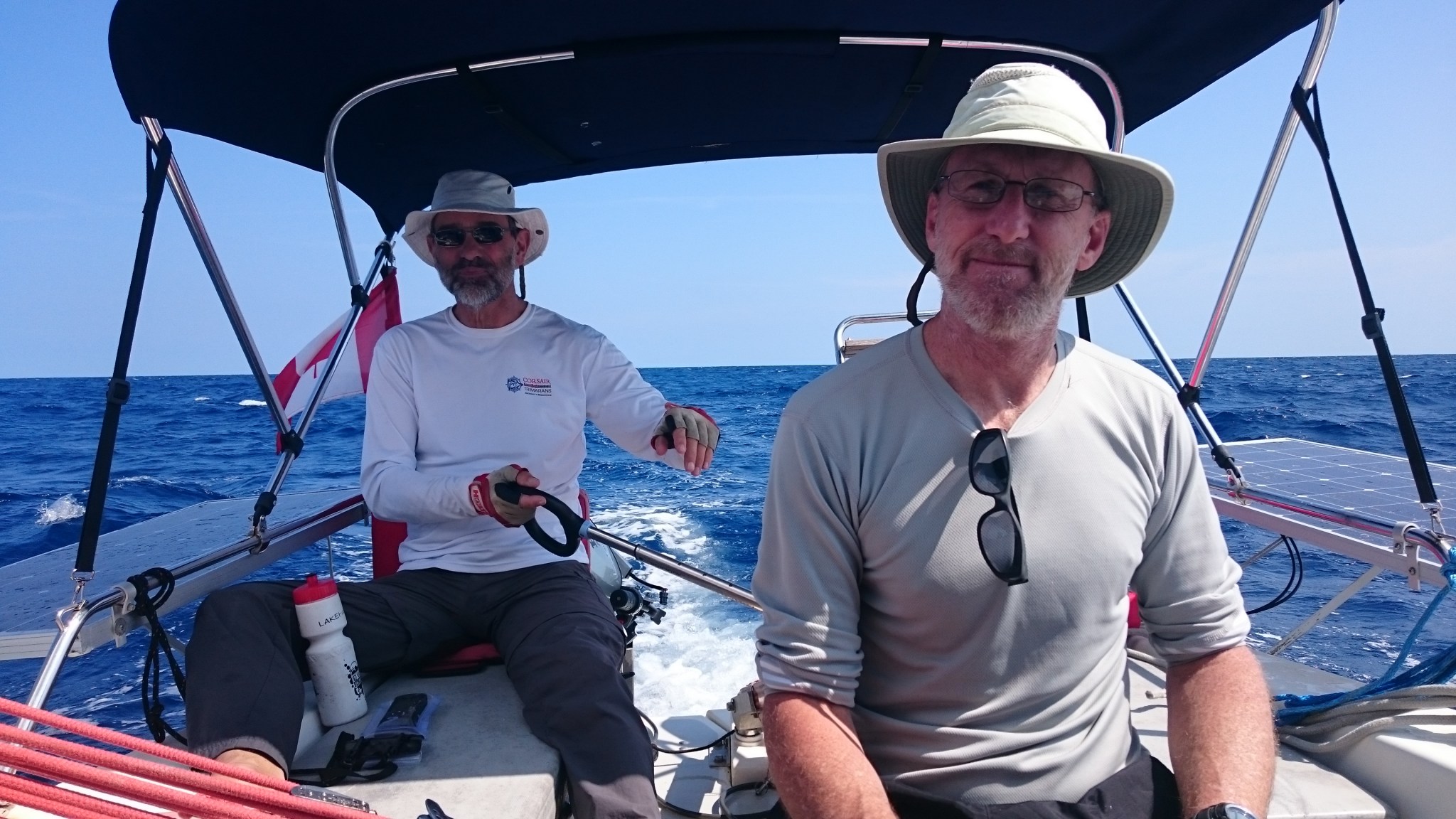
We loved our almost 2 days at SW Allan Cay in the northern Exuma island chain. The shallow, mostly sandy anchorage was small but protected and lovely with interesting low-lying rock formations, a tiny sand beach, palm trees, quiet neighbours and of course, Iguanas! This stay allowed us to check off some items on the big “To Do” list such as: effect sail repairs (by “we” I actually mean Paul….is there anything the man can’t do?), make sure the head was in top shape and working (it was – great work Jim!) and have a good look at the new damage to the hull.
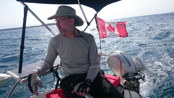
Each day we also learned how 3 of us could live on a relatively small boat. The F-31 is just about 31′ long and is 22′ wide when unfolded. This gives the sailor a lot of deck space (ie. more room to store our crap). But because this is a trailerable sailboat where the pontoons fold into the main hull, there is not a lot of interior space. I believe the whole rig is around 8′ 6″ wide when folded so it can go on a trailer and legally travel on roads in North America, etc. The interior has standing head room of about 6′ 2″. Jim is about 6′ 0″ so this works. Paul on the other hand, is 6′ 4″. Poor fella. Luckily, there is a sliding hatch above the companionway steps where he could stand up straight even in the rain as the boat came equipped with a dodger – a cover over this hatch to help keep the companionway dry in the rain.
Covers over the cockpit such as the dodger and the bimini over the aft (or rear) part of the cockpit, help to provide additional shade and protection from the elements. Some cruisers fully enclose the cockpit which creates almost an entire extra room. Our 22′ trimaran “Raise a Little Hull” has a bimini and in the evening, we can cover the cockpit with a patio umbrella screen to keep the mosquitoes out. On this trip, we didn’t use a cockpit screen. We did bring along very fine mesh screens for the front hatch and the companionway which could keep out both mosquitoes and no-seeums (tiny biting midges called sand flies in the Bahamas). Regular screening won’t keep out no-seeums by the way. You have to use a fabric like bridal veil netting if you are going to make your own screens.
Back at our rental house in Rock Sound, we had made the mistake of leaving one of the sets of French Doors open with just some loose mosquito netting across it one evening, and we eaten up by no-seeums. They come at dusk and leave when it’s fully dark (or so I’m told, as I try not to be out at dark with those little buggers around). The locals all put on long cotton/denim pants and long-sleeved cotton shirts and still cover themselves in Deet at twilight. Deet is the only thing that I’ve found that works 100%. I have a homemade spray for mosquitoes and midges but it’s not 100% effective. It’s good for a trail walk during the day, but not for keeping swarms of them off of you at night. The no-seeums can literally leave you scratching for months! Jim has experienced that and I didn’t want him or any of us to face that torment so we were screened up as darkness fell. I don’t know whether it was because it was winter, but we didn’t feel that there were many mosquitoes on our trip…thank goodness.
The winds died down to a reasonable speed for sailing and the marine forecast was fine…sunny and warm with a moderate breeze and small following waves. It was time to leave SW Allan Cay. Looking at the chart, we decided to head north on a broad reach toward Nassau. A cruise we had met in Rock Sound told us about a great anchorage on the south side of Rose Island just east of New Providence Island where the city of Nassau is located. I was excited to sail on the Exuma Bank. I’ve heard a lot about how beautiful it is when sailing along this shallow patch of land on the leeward side of the Exuma chain. On the charts, the water we were to sail across showed depths of 3-5 metres. I will put a pictures of the Banks below. The popular sailing show “Distant Shores” with Sheryl and Paul Shard has a great clip on YouTube about sailing in this area. (Click Here to watch the video)
Before we hauled anchor, we dinghied ashore in the cool of the morning to see if we could find any of the endangered rock iguanas we heard were in the Allan Cays. Sure enough we saw tracks and burrows but none of the famous lizards! We hiked across the tiny cay to the south side which faces Highborne Cay. These low, rather desolate islands are mostly limestone with some palms and scrub trees. It’s a dry-looking landscape. Perfect for lizards one would think.
There! On the beach! The guys spotted a small specimen. It was about 18′ long. We took some pictures and videos. It didn’t seem too worried about us. We went back to the beach where the dinghy was as the sun began to warm the rocks around us. Suddenly we heard rustling in the scrub…all around us!!! We realized that we were surrounded by several of these rare critters! The biggest that I saw was about 2′ long. They do have a reddish chest and long claws. They are also very bold. Most came eagerly toward us. I think they were looking for handouts. Maybe visitors feed them? Tsk tsk. I hate to imagine that. Same with the poor pigs at Big Majors. We heard later on that several of the friendly pigs died because some idiot tourist fed them rum!! Can you imagine? I have stronger words to describe that kind of sub-human but I won’t use them here. I was so mad.
I’m glad these iguanas have a relatively safe place in which to live. They can swim to the other nearby cays I’m sure so that helps. It was great to see them but once again, time was moving on and so should we.
Our passage to Rose Island looked to be about 30 nautical miles. If we could sail at 6 knots, that would be about 5 hours.
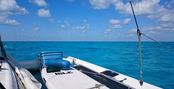
It was a beautiful day and the shallow waters of the Exuma Bank were ridiculously beautiful. A turquoise blue that I’m not even sure I could paint…and I’m an Art Teacher! Beside that, how can a painting capture the transparent beauty of that water. Am I voicing an artistic sacrilege? Probably. I’ll take that chance (but I know that I will try to paint that water!!). We still weren’t used to sailing in these shallows so I was a bit concerned about how deep the coral heads were that we could see. Paul would probe the depth now and then with our long paddleboard paddle but couldn’t touch one so on we sailed.
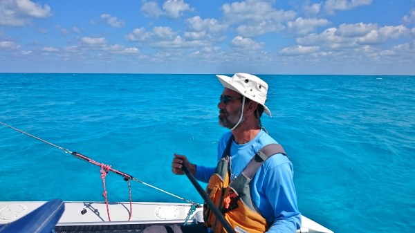
The day was really pleasant. The sun was shining and the crew were in great spirits. Paul was delighted when we hit speeds such as 10 knots! His sail repair was great but still largely untested as we were reaching along with the screecher, our big foresail instead of the jib. The guys were often sailing with the “hot stick” or tiller extension. This allowed the helmsperson to sit out on the beams or the netting for a better view of the telltales on the sails (ribbons or yarn attached to the sails which indicate that your sails are trimmed properly for the wind, thus allowing for maximum speed)
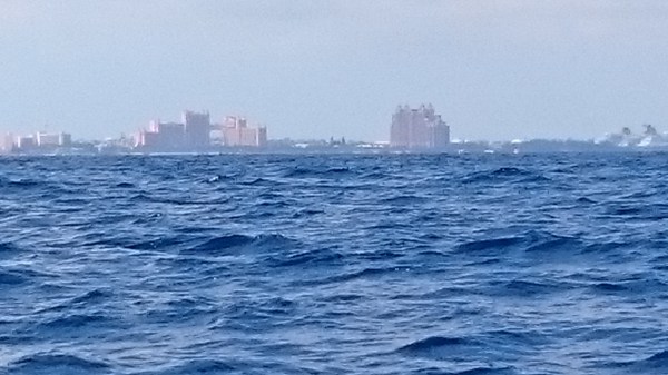
By this date, we were 5 days into our trip from Rock Sound. We had filled up the freshwater tank before leaving but it was already getting a bit low. We hadn’t yet had time to try the watermaker aboard, which is a desalinator. It had been sitting a long time without having been properly “pickled”. This means that it had not been shut down properly to preserve the membrane (filter) while not in use. We weren’t sure if the system worked and we didn’t want to take a chance that it would. So we decided to detour to New Providence Island to get some water and a few supplies at Palm Cay Marina on the south-east side of the island. Our guidebook said that the marina had a little store for basic provisioning so we hoped to stock up on essentials: water, beer, maybe some meat and or salad, etc.! But no, the little store was closed when we arrived around 4:00 ish. I think the gal in the office said it closes at 3:00!
The water was available from a tap up on the quite high dock. We had brought a flexible hose and could easily reach the tank access with it. Once the hose was connected I turned on the tap….water spewed everywhere! I guess some of the water went down the hose as Jim gave me the thumbs up. I think we were quoted 25¢/ gallon…our tank is about 35 gallons. I could literally see our money going overboard. Sheesh! The dock helper didn’t seem too concerned. Paul helpfully suggested that they could use a new washer. Again, the young man didn’t seem too worried….Island style Mon.
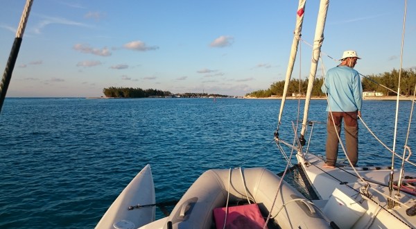
Anyhew, at least we had freshwater. We headed across another 5 nautical miles to the Rose Island anchorage. Being a shallow draft boat, we could wiggle our way past other anchored boats farther into shallower water, keeping an eye on the depth in case the tide went out. It was a lovely sandy anchorage with several homes set up on the hill beside us and the lights of Nassau behind us to the west. The boys barbequed and all was lovely.
None of us were really interested in seeing Nassau on this trip as we really needed to keep moving so the next day we set off to sail to the Berry Islands, the last group of islands before Bimini. This passage was to be about 40 nautical miles. The winds were a little stiff but it was sunny and the waves were short and spaced fairly far apart. In short, it was a lovely day for a sail.
One thing we noticed was when the shallow aquamarine banks waters darkened to the indigo blue of much deeper waters. The colours of the water of the Bahamas are entertainment in themselves. But not to be outdone, Paul practiced his kiteboarding moves on the netting as we reached along. We averaged about 7 and reached 11 at one point as the winds increased quite a bit as the day went along. 13 knots or even more were speeds which the guys were trying to reach if conditions were right. Did we? Nope, not on this leg. The videos of this passage are below.
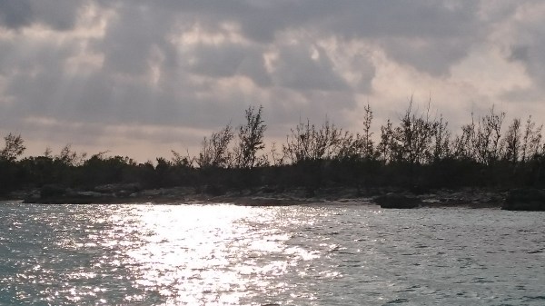
Once we reached the Berry Islands, we decided to sail into a shallow anchorage between Whale Cay and Bird Cay to the west. While it was good to get out of the winds, it was a tricky anchorage as it was 1-2 metres deep with some rocks here and there plus some swirly winds. We finally found a patch of sandy bottom where we could drop the hook and feel comfortable out of the winds. After we were settled, we realized that we were seeing a lot of hurricane damage ashore. The trees looked ragged with quite a few being wind-thrown (the whole tree is pushed over exposing the root system) and wind-blown where they are snapped off at the trunk. Back in October, Hurricane Matthew slammed through the western Bahamas and the Berry islands were right in his path. We were to see much more damage on our trip but that will have to wait for Part 4 of the Rest of the Story: “Bimini here we come…and here we stay”