The Boat with No Name…or a brief Synopsis of 2022

I am ashamed to admit that this is my first lengthy post of 2022. The time has flown by, the world continues to change and for once, I couldn’t keep up. Or didn’t keep up. Why? Probably sheer laziness! But life does happen. In the previous fall and that winter, we helped a dear friend dying of cancer live out her last months on her terms. Cheers to you my dear!!

Besides our regular volunteer duties at Fanshawe Yacht Club here in London (Jim and I are tasked with installing, inspecting and assigning the moorings at the club, and he takes care of the safety boat motors), I took on the job of building a new website for FYC. It’s always a work in progress but I found the build interesting and rewarding. (If you want to have a peek, check out https://fyc.on.ca/wp-v1/)

Over the winter, one of our goals for our Corsair F-31 this spring was to fix up the outside of the port ama (pontoon) where we had scraped it up a bit on a -thankfully- crumbly island in the Bahamas. Then once it was faired and painted, we thought we would figure out a way to put the name of the boat on the sides of each ama… Thunderstruck. One thing to consider with fonts for the name is if using fonts which are on angle, say in italics, they’d look dynamic on one side with the lines of the boat. But maybe not so much on the other side! As a retired Art Teacher, these are concerns which I could lose sleep over! (But then I could just sleep in! Yes, we’re loving retirement)

As we pondered the effectiveness of serif vs sans serif fonts, time again seemed to zoom ahead. We got very busy in the spring when we decided to help a Ukrainian family which had come to London in April. Soon, Canadians jumped into action helping a growing number of folks fleeing the war in Ukraine. Many of us had had relatives who had been affected by war in the past and we empathised deeply with those trying to find safety in Canada. Can you imagine Facetiming with someone in Ukraine who suddenly cuts off the chat because air raid sirens have gone off, indicating rockets are going to pass over … again? It’s surreal. I’m convinced that my ancestors in 1916 and 1939 for example, thought as we do …”How is this possible in this day and age?” I won’t go into the twisted ambitions of a little dick-tator with nationalist expansionist goals.

Note: As I write this in almost mid-December, the brave, resilient Ukrainians are holding on, gaining some ground and the rest of the world is desperately trying to not trigger a third world war. Our new Ukrainian friends have settled in to their lives here and soon Christmas and a New Year will be upon us. We fervently hope that there will soon be a positive outcome to the madness in Ukraine. But for now, we will do what can to help.

Suddenly it was the end of July! Time to go sailing! No, we had not taken the time to fix the port ama or put the name on the boat. But we really wanted to get away: to find new anchorages, delight in favourite spots, and to enjoy the tiny part of our country that we like to cruise in… Georgian Bay and the North Channel.

We planned on 6 weeks away!! We’d sail into the middle of September if the weather held and family responsibilities allowed. Jim sagely reminded me that I didn’t need to load the boat with supplies for six weeks…that there are supermarkets where we could reprovision and who would appreciate the business (I tend to have a “better be prepared, just in case” mentality).

This year we added things to our provisions list such as Covid test kits, a thermometer, sanitizer and masks. Though we had received whatever Covid vaccines were offered, we were still wary of the virus. Happily, being on a sailboat for weeks is a great way to isolate!

I booked us an outdoor storage space in Midland for our van and trailer. (Access Storage on Balm Beach Rd if you care to know) and a slip for the night at Bay Port Yachting Centre. Then after what seemed like weeks cleaning and preparing the boat for cruising, we were on our way. I know I’ve said this before but a trailerable trimaran folded up on the trailer looks like a side show as we’re driving. I have literally seen people point and stare as we pass by. Some folks wonder if it’s an airplane! One fellow thought it was some kind of telescope and another thought it was a “fair ride”. It’s a big load with a 31′ long boat plus its 40′ mast! Jim does a great job hauling it with our big 350 Ford van. I think I could drive it too now but only on flat country roads!

At the launch ramp, we always need to find a spot out of the way where we can spend a couple of hours to put the mast up and load what we can before she goes in the water like the 9.9 hp outboard motor. That sucker alone weighs about 100lbs! The rest of the gear such as our cooler and our Engel freezer, the inflatable dinghy, paddleboard etc are loaded once we’ve launched and are tied to the dock. We try to do all of this quickly so as not to take up space for too long as many small fishing boats often come and go from this launch ramp at Pettersen Park. We unfold the pontoons and bolt them down. Then we motor the boat around the corner to Bay Port Yachting Centre. Once we’ve secured Thunderstruck in the slip, we walk back to van and run it up to the storage area. Next year we might even remember the little solar panel which plugs into the 12 volt receptacle to trickle charge the van while we’re gone! 🙄

As we often travel in a small fleet with our friends on their boats, we make up supper menus ahead of time which list who will prepare what part of the meal. Normally there is also a Happy Hour listed too and which boat will host it! Here’s an example of one supper: HH = Thunderstruck (we love to serve happy hour snacks on our trampolines!). Main= salmon on Cuencanita (they cook the main dish and host us all aboard their boat – we bring our own plates, utensils, drinks); Starch= Quinoa from Adventure; Veggies= stir fry from Blue Heron; Bread and/or dessert= Thunderstruck. This planning ahead reduces the amount of food each boat has to carry and can be adapted to conditions.

BBQ Salmon supper aboard Thunderstruck at the marina

Our loose itinerary was to cruise to Beausoleil Island (we like Chimney Bay in most winds except a south wind) then into some of the other bays not far from Honey Harbour, then eventually northward along the eastern shore of Georgian Bay and up into the North Channel – the body of water between the north shore of Manitoulin Island and mainland Ontario. We hoped to get as far west as Blind River. But I say that the itinerary was loose because our travels are subject to wind and waves. We want to enjoy our cruise, not bash into strong winds and waves when it’s not necessary! It’s not fun and it’s hard on the boat and the crew. If the weather gets rough, we find a snug place to anchor and wait. Those “down times” are great opportunities to clean the boat, catch up on reading, for Jim to go fishing, play games with our friends, etc. So the key is to be adaptable.

Hiking the trails on Beausoleil Island
Anchored in Chimney Bay
Kayaking Little Dog Channel. We took Thunderstruck through here but this narrow opening was dicey as the water levels have gone down about 2′ or more this year! Our boat is 22′ wide and we only had about 1′ to spare on either side!
Day 3 and still trying to get organized. It takes us a couple of days to get everything set up as we like. Yes, the red machine is an ice maker! We can run it off the generator when we’re at anchor or on shore power when we’re at a dock.

But I realize that this post has not even scratched the surface of our 2022 Cruise so I will continue the tale in the next installment. Fair winds and following seas friends!

Posted in 2022 Georgian Bay and the North Channel | Leave a comment

Best wishes for 2022!

Wow… how much our world has been through. Who knew when Jim and I were sailing the Bahamas in late February 2020, what would unfold in the next almost two years? Yet here we are in the early days of 2022. You all know how things have turned out so I won’t list them here.

I only want to say … please hang in there. This too shall pass because I believe that there is a light at the end of the Covid tunnel. It is our great wish for you all to have a healthy and happy 2022. Be kind, be safe. Fair winds and following seas.

Carleen and Jim

Posted in Uncategorized | 4 Comments

Our Boat is a Celebrity!!

We are enjoying a wonderful cruise with two other boats in Georgian Bay’s 30,000 Islands. Yesterday, Jim and the guys from our small group took our F-31 trimaran into the town of Parry Sound to get supplies and for our buddies to try sailing Thunderstruck too.

When they docked downtown, a journalist introduced himself, asked some questions and told them that he would publish a story about our boat in the local paper!! Wow!!

Here is a link to the piece by Tom Mangos at RadioWorkz Parry Sound

Posted in 30,000 Islands 2021 | 2 Comments

Cruising The Gulf Coast of Florida on a 22′ Trimaran

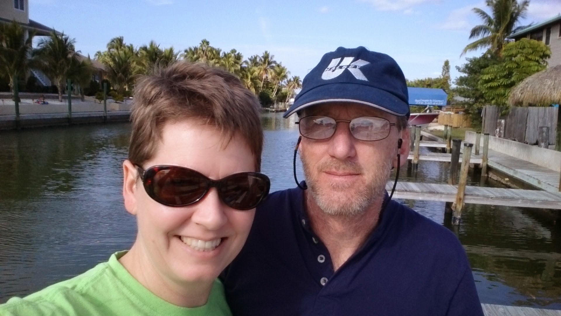
In the Fall of 2014, Jim and I decided to trailer our 22′ Trimaran “Raise a Little Hull” down to Florida over Christmas and New Year’s. 

We had two weeks of holidays so we figured it would take 2 days to get to the Cape Haze area of Florida’s south-western Gulf Coast and 2 days to get home. So we’d have 9-10 days to cruise with fingers crossed that the winter weather coming and going to Florida would be ok for driving.

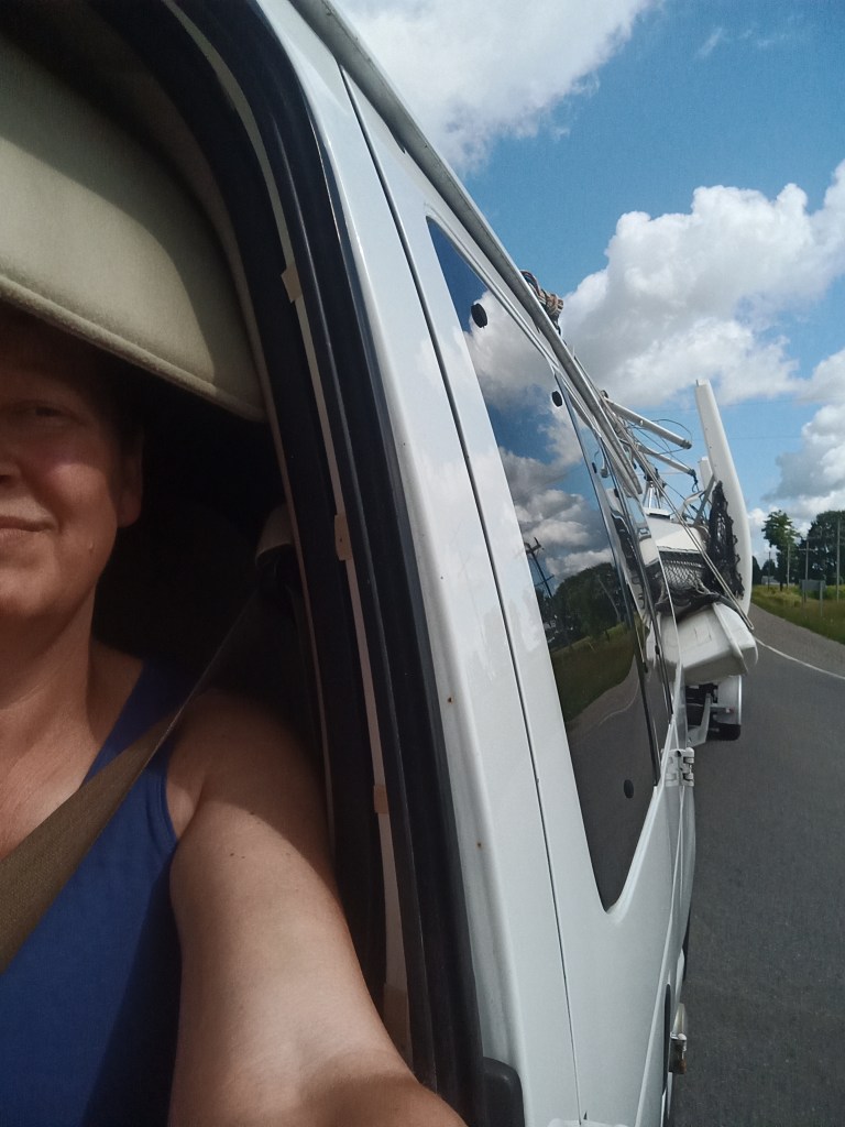
At the time, we had a manual transmission E-150 van. I was not super comfortable driving a long load with a stick shift so poor Jim did all of the driving! I was the Navigator and Snacktician.

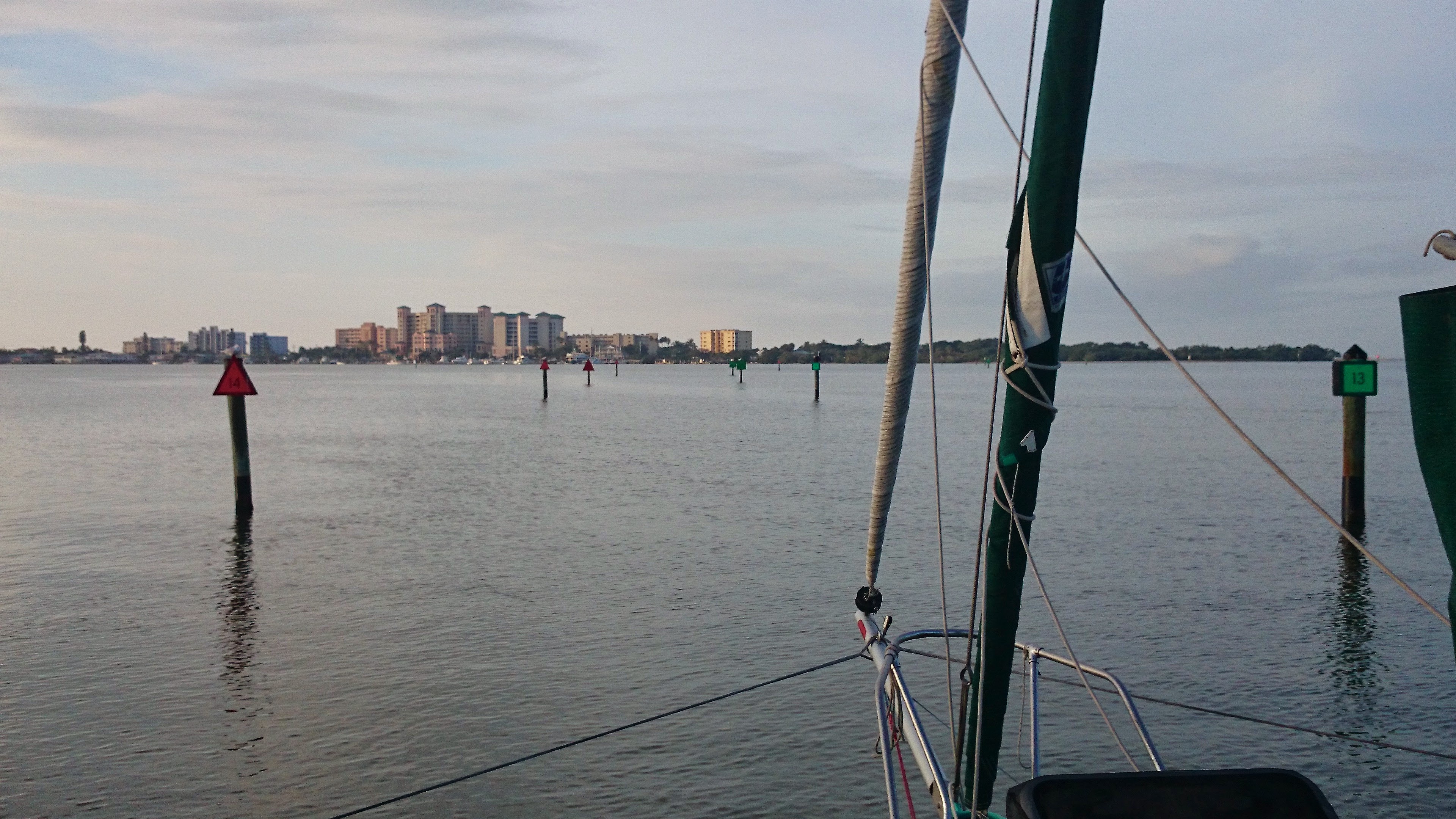
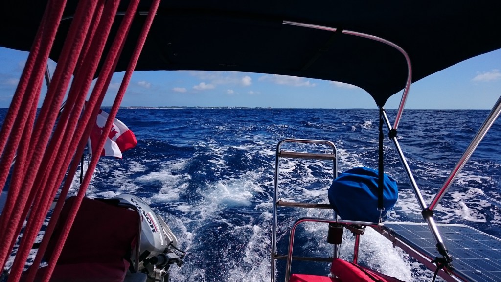
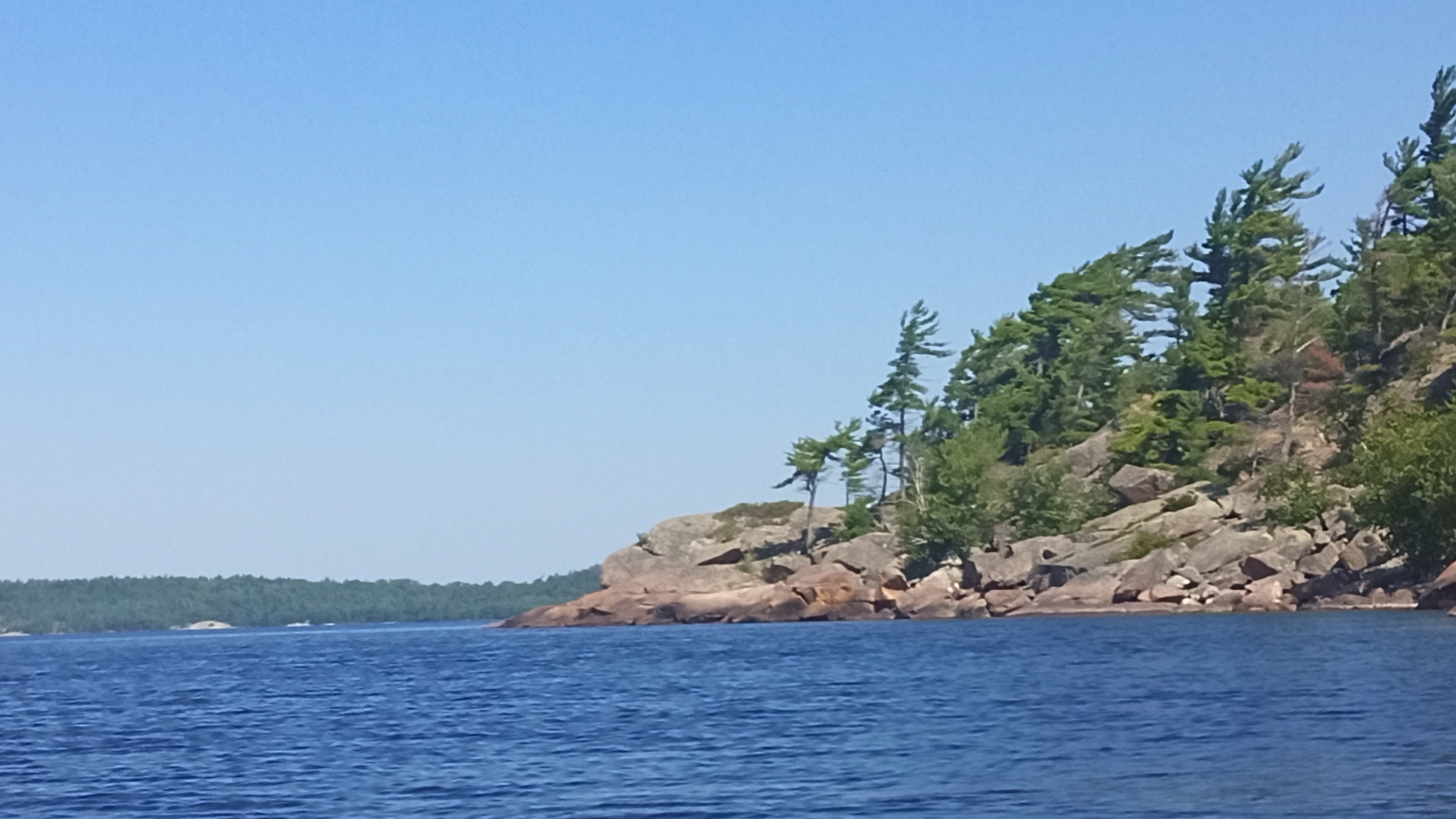
Thankfully, our 2 day drive down I-75 was smooth sailing and we launched at Eldred’s Marina at Cape Haze on Day 3. We parked the van and trailer there and motored our way north up the Intracoastal Waterway (ICW) to an anchorage we knew about at Englewood Beach. The Gulf shore is lined with low, sandy land covered in mangroves by the shore, scrubby bushes and trees inland and the odd palm tree. Beaches are scattered here and there and are more likely to be exposed along the Gulf shore and not so much along the ICW.

The thing about the ICW on the west or east coasts of Florida is that even though it may be fairly accurately charted, it can change depths without warning if a storm blows in a new sandbar or sinks vessels in the middle of the channel! The prudent sailor will keep a sharp eye on the colour of the water and if he or she spots a light spot ahead, it is best to steer clear of that shallow area…which we didn’t do so we gently rubbed a sandbar just next to an ICW marker!

We enjoyed our first night at anchor yet a quick study of the wind forecast prompted us to sail south toward Cayo Costa State Park just south of Gasparilla Island. We knew of a protected anchorage there to shelter in as some strong west winds were coming. The direction and distance we sailed on this trip would be decided by the weather.  We needed to make sure that we had time to see some interesting anchorages yet leave enough time to get home safely. Cruising on a schedule is a bit of a bummer sometimes!

En route to Cayo Costa, we sailed past the village of Boca Grande on Gasparilla Island. We knew this area well as we had rented vacation houses in the area several times in the past. But it was fun to see these places from the water.  We knew that dolphins and bull sharks frequented Boca Grande Pass as the fishing must be good but we didn’t see any as we crossed the Pass.  Nor did we see any manatee – the gentle, slow-moving “Sea Cows” who munch on seagrass in these subtropical waters.  It was a big worry of mine to hit a manatee so I tried to keep a careful eye on the water at all times.

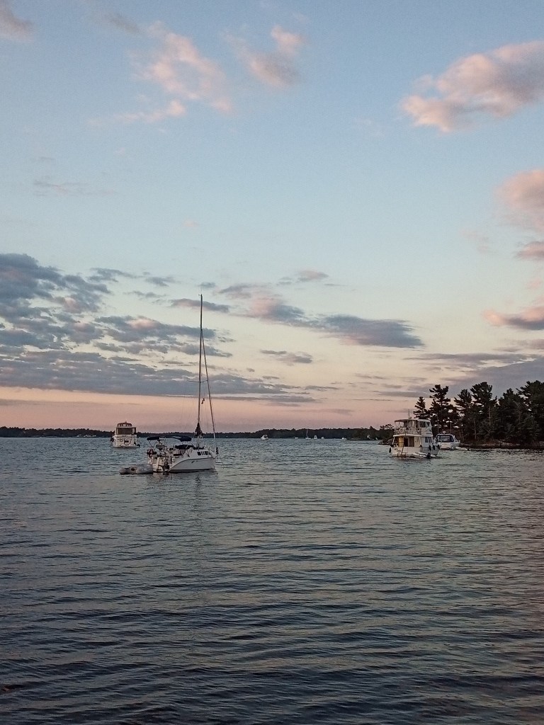
We anchored in a small nook off of Pelican Bay at Cayo Costa State Park.  The opening was about 40′ so as our tri is only 18′ wide when unfolded, we had enough width to easily motor through. Once inside, the nook opened into a small shallow pond 350′ across. A perfect hidey hole to escape the coming strong west winds.

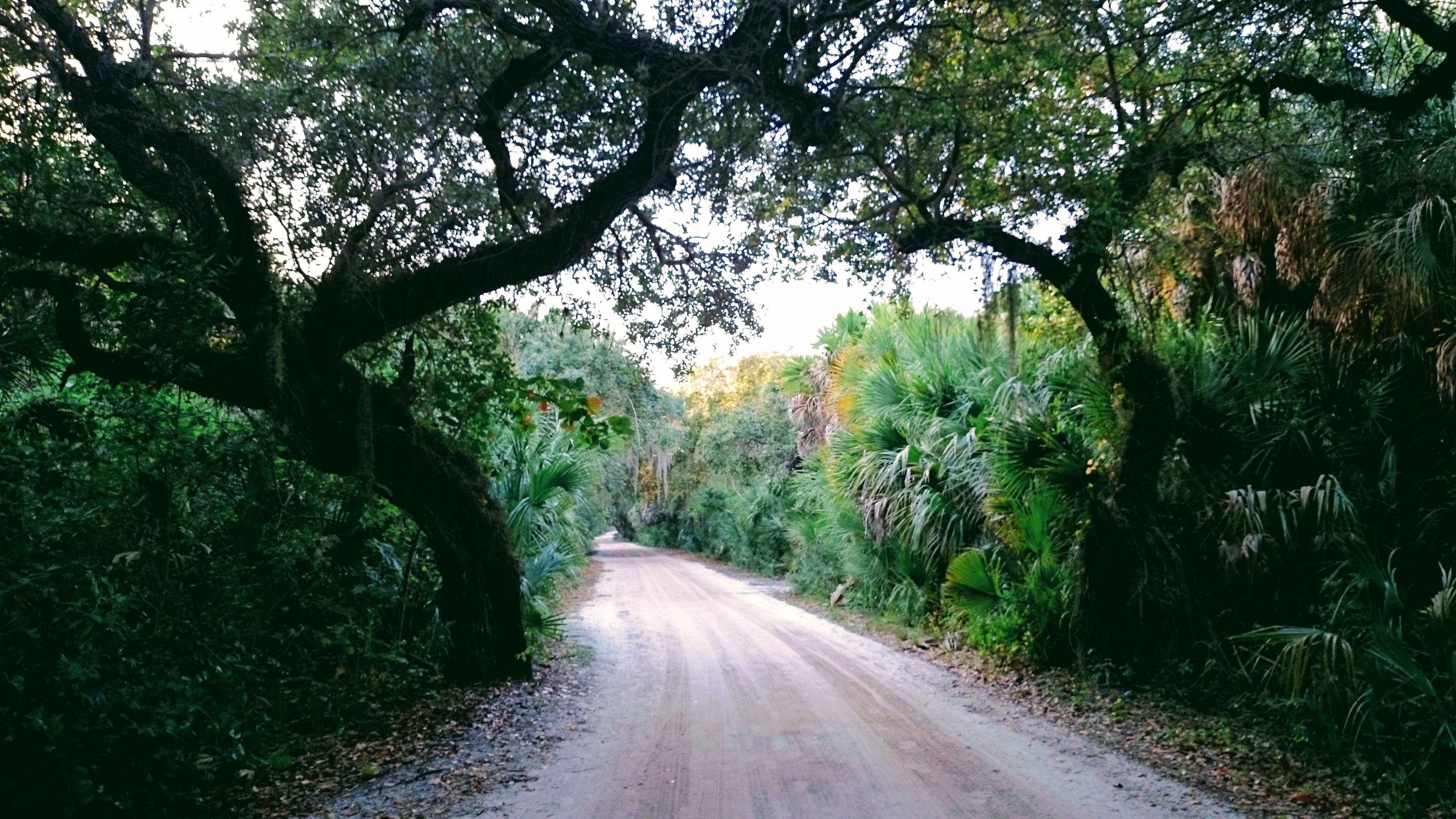
We kayaked to the Park dock and explored the trails to the Gulf Side.  Visitors can camp on the island so there is a park ferry that brings them there from Bokeelia on nearby Pine Island.  Back on the boat, we watched mackerel leaping out of the water, trying to get away from whatever was chasing them in the murky water.  Aside from one manatee and a few fishermen who trolled in silently, the place was deserted and quiet.

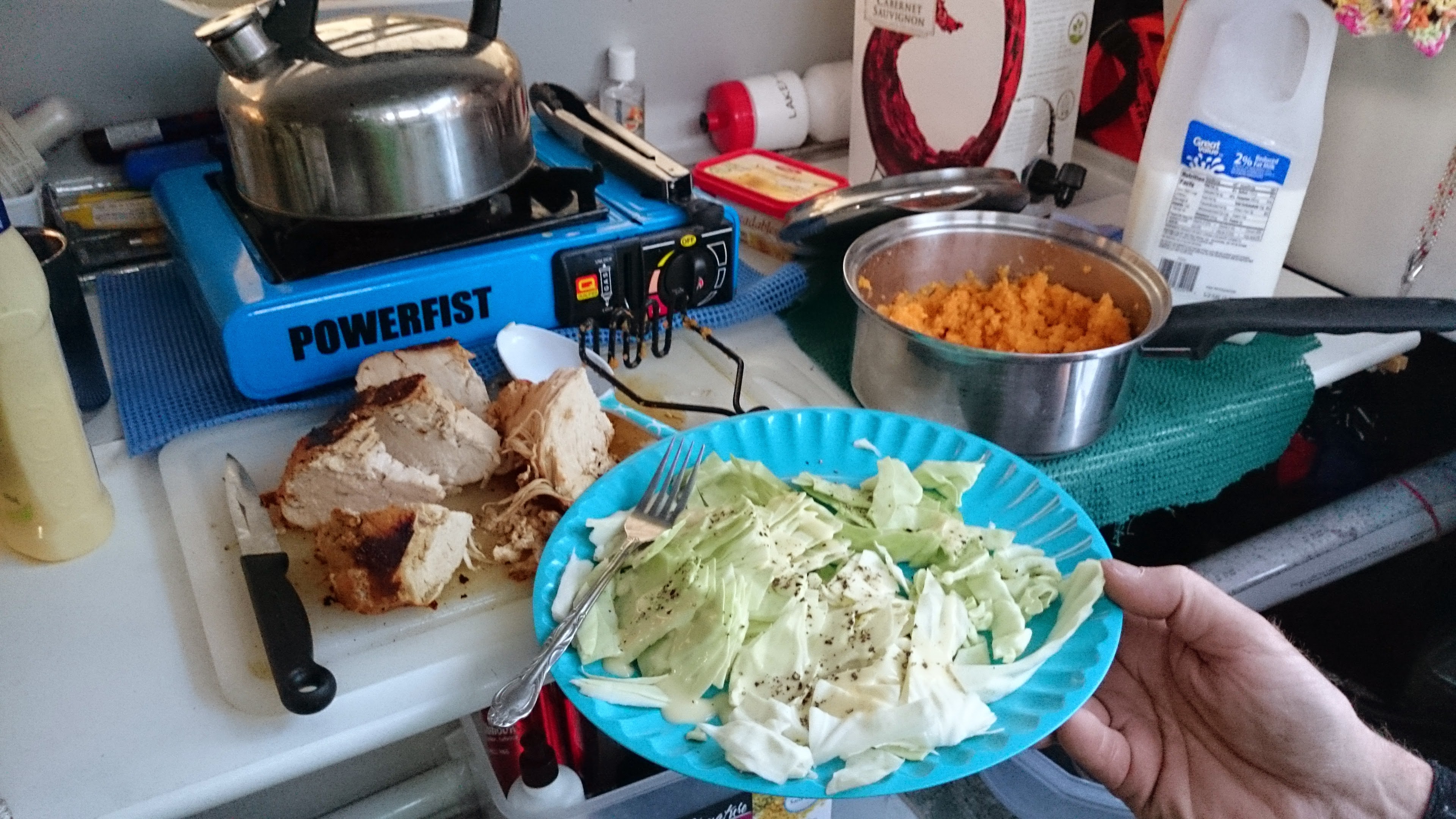
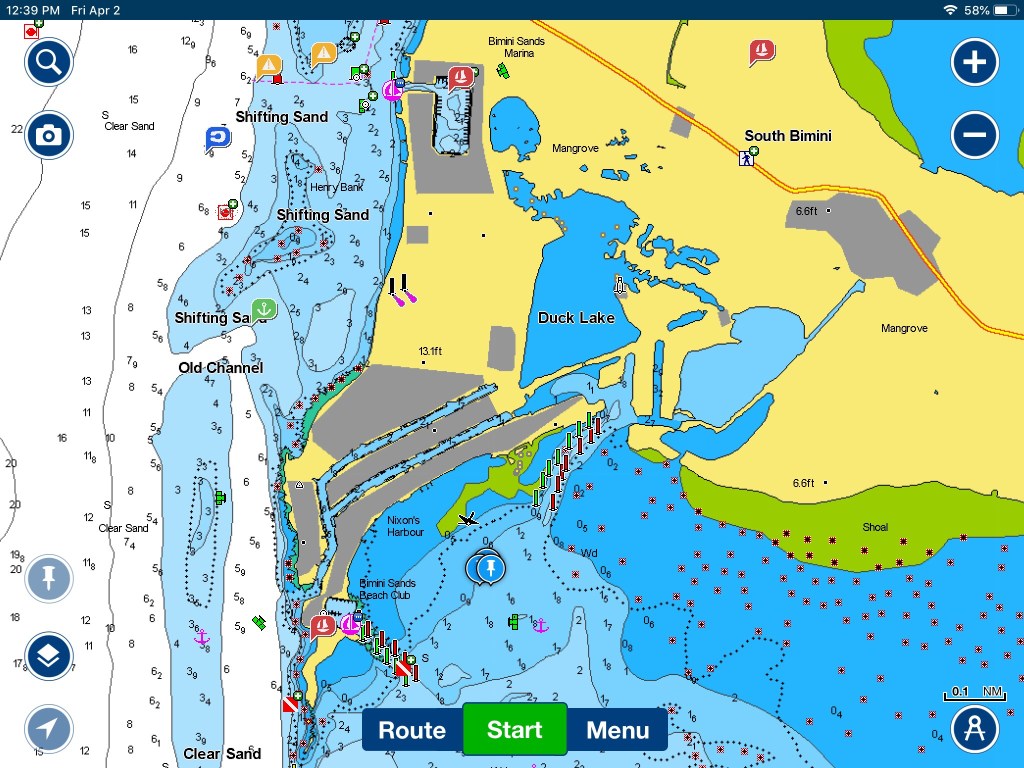
The next day was Christmas Day and the strong west winds decided our path. Staying out of the wind and high waves of the Gulf of Mexico, we sailed south down the ICW in Pine Island Sound, the protected waters between Pine Island and North and South Captiva Islands. We followed the many, many ICW markers to St. James City at the south end of Pine Island and looked for a local restaurant where we hoped to treat ourselves to a festive supper. But alas, it was closed for the holidays. We learned they wouldn’t open again for a couple of days, so we stayed tied up at their dock and cooked up our own wonderful Christmas meal of Barbeque Turkey breast in a bag, coleslaw and mashed sweet potatoes. Delicious!  We took a short walk ashore and made sure that the water dishes for the local cats at the restaurant had some fresh water.  A manatee was cruising up and down the canal. What a different way to enjoy Christmas!

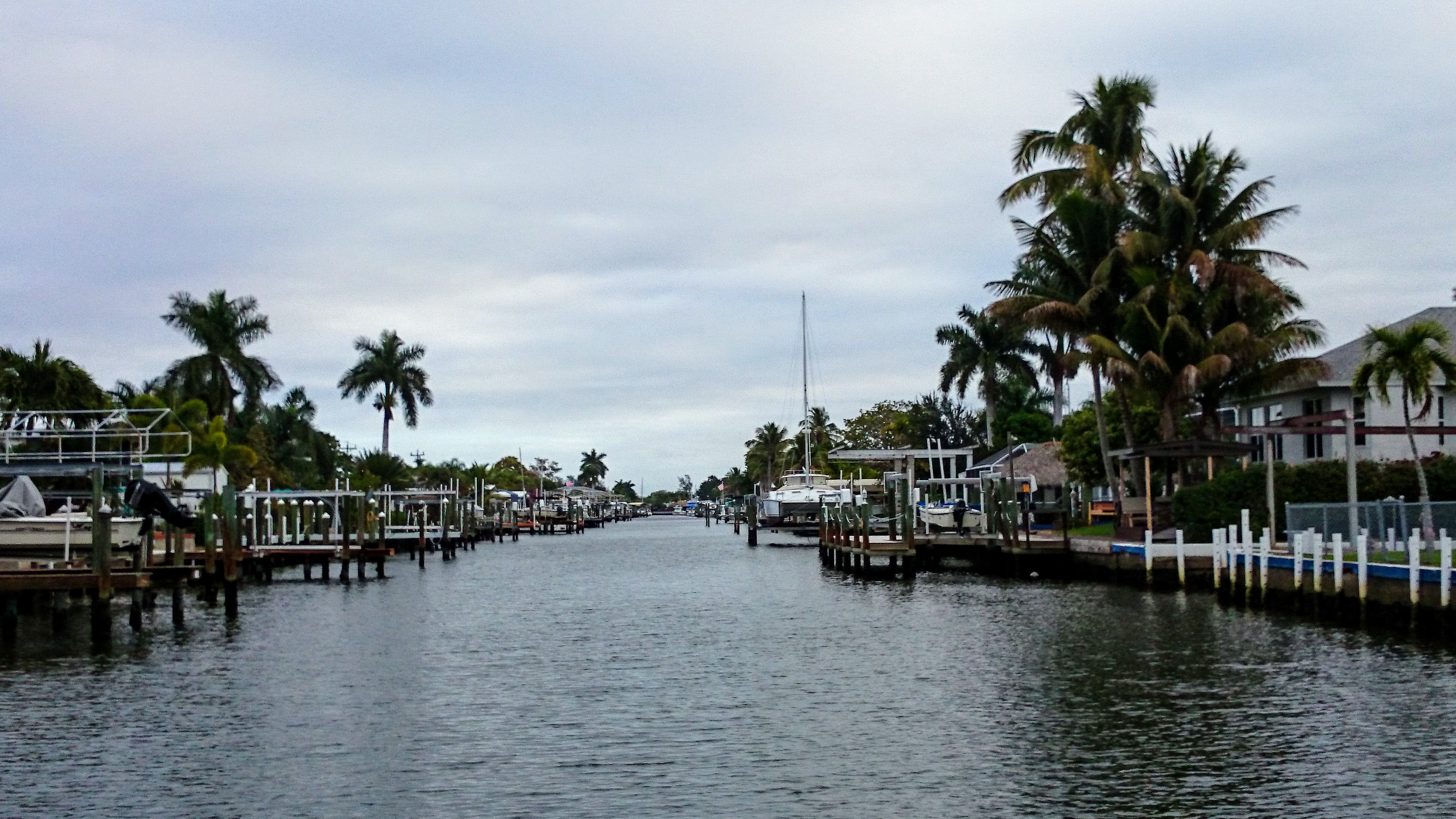
The next morning we decided to try to find some fuel. As we neared one of the many canals in St. James City, a fellow hailed us from shore.  He had what looked like an F-31 on a trailer on his land. He suggested we could get fuel at a marina up the Monroe Canal so we thanked him and wove our way past charming waterside canal-side homes to the marina.

We had a little time to explore before the marina opened so we took a short walk ashore to a local convenience store for an ice cream and some milk. It was a quiet town with kind of an old Florida coastal feel to it. Everything was kind of weather beaten, and the land was low, sandy and scrubby. It was uncrowded and comfortable.

We moved on and thought we’d find a place to anchor for the night somewhere south of Fort Myers Beach. Not far from Fort Myers a few dolphin came to join us, effortlessly skimming along on our bow waves. Magical. The Fort Myers area is a popular boating area and we motored down the ICW past various crowded mooring fields next to many large fishing boats and lots of vacation homes on the waterway. Suddenly the homes and busy areas disappeared and we were into the Estero State Preserve.  We found a secluded area in the mangroves just south of Big Carlo Pass near the New Pass Bridge and dropped anchor.  This area is on part of the popular paddling trail Great Calusa Blueway that meanders off of the ICW through the mangroves.  Some kayakers passed us with surprised looks as it’s not everyday that a green trimaran anchors there! 

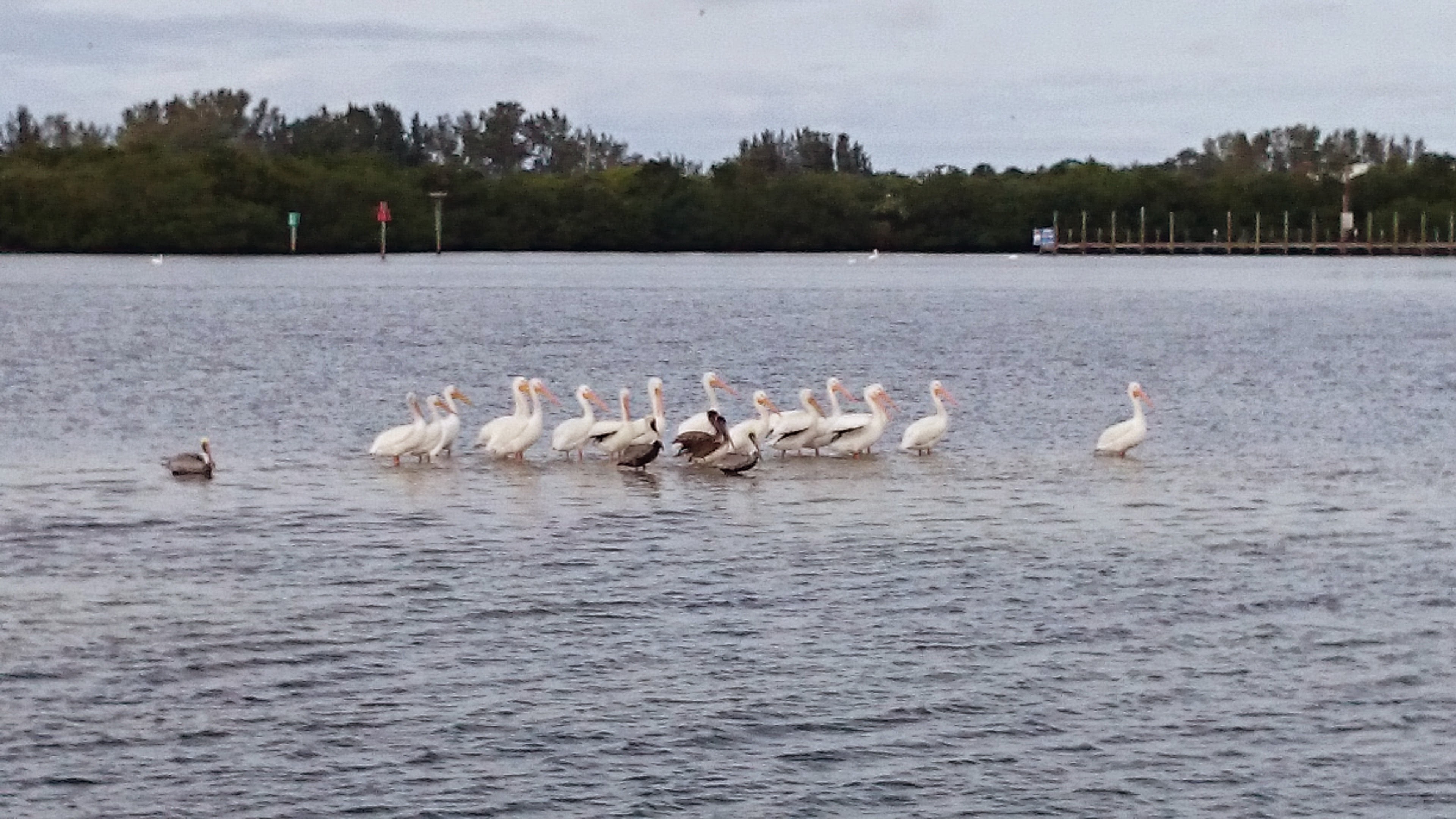
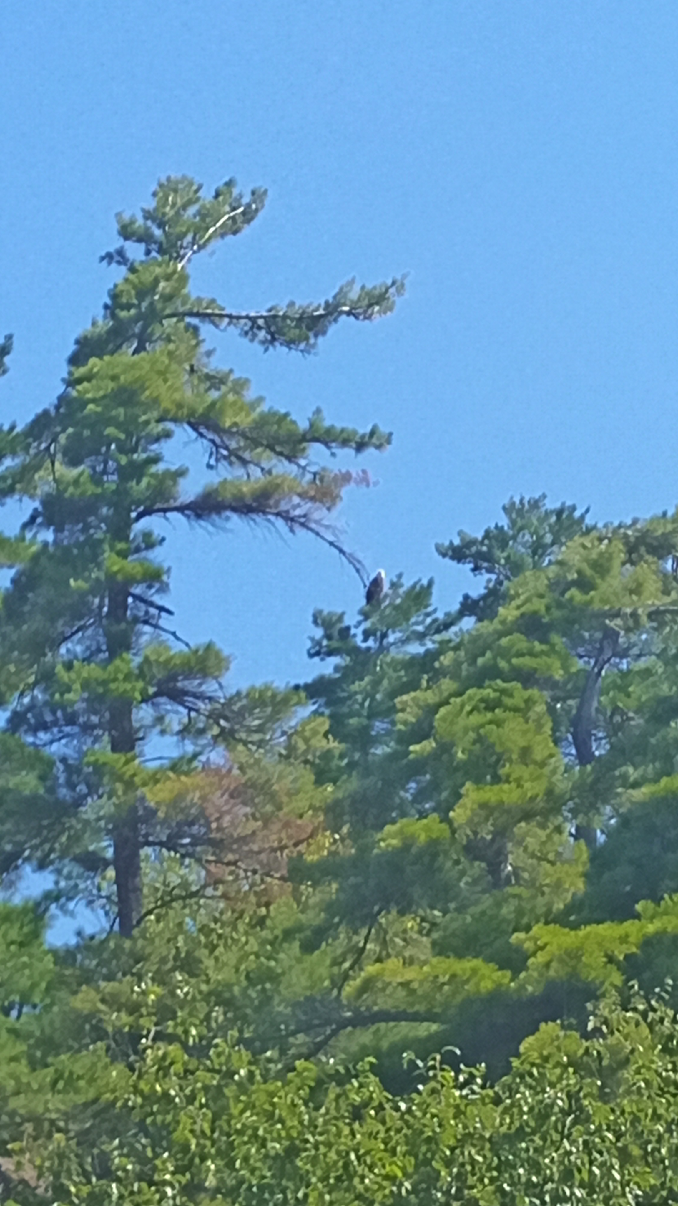
We enjoyed kayaking these quiet areas with so many species of birds and other animals to see. There were  dolphin fishing nearby as well as Roseate Spoonbills roosting in the trees.  Great Blue Herons, Little Green Herons, Night Herons, Egrets, Ibis, and even a Bald Eagle or two were all on display in these quiet areas. Osprey cried above us all day and many of the ICW markers had osprey nests on them.  Florida may be known for its beaches and amusement parks, but it is these quiet waterways that make Florida special for us. 

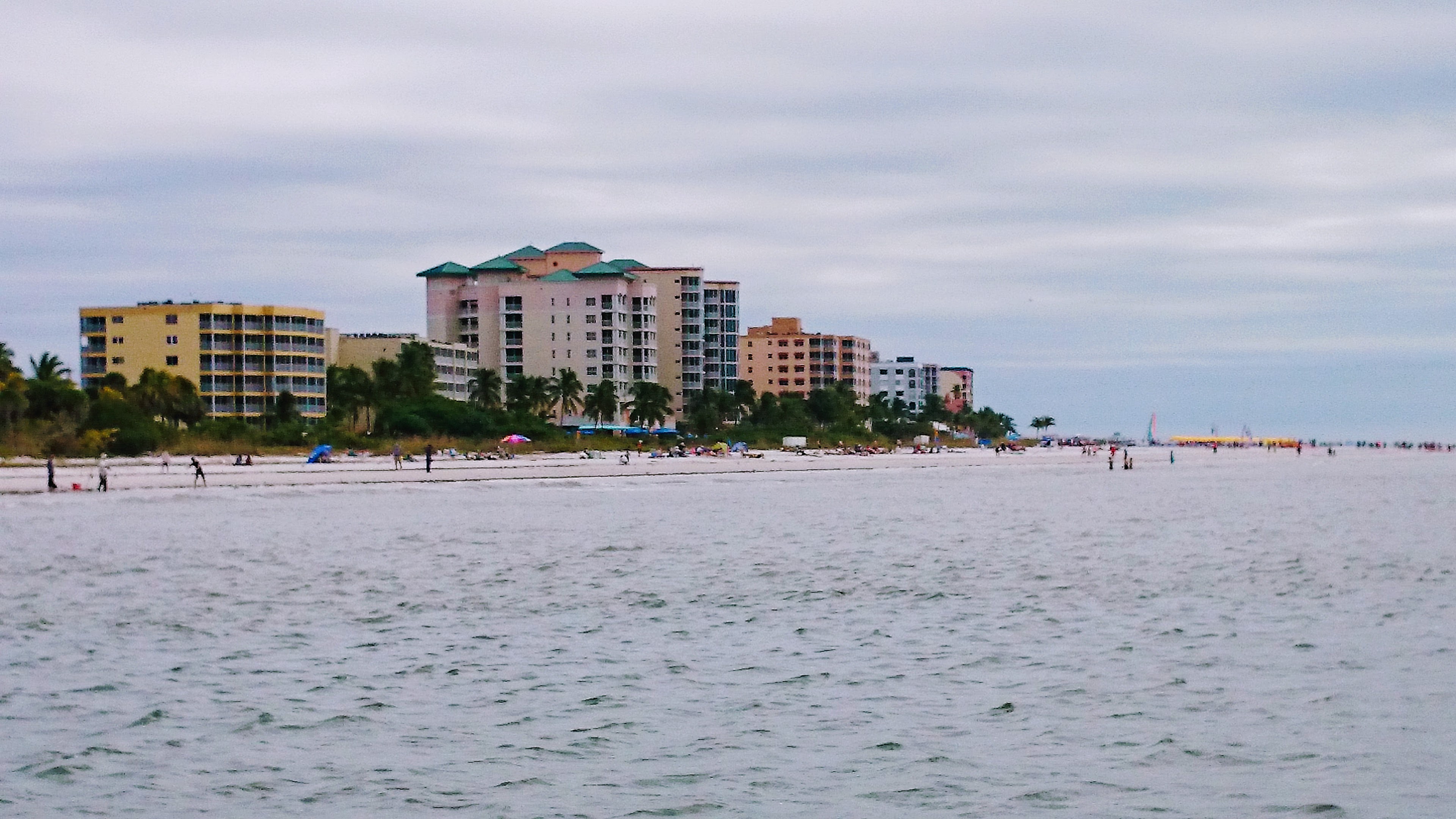
The next day the weather was fine and we called for a bridge opening at Big Carlo Pass and headed out into the Gulf of Mexico. We turned south toward Naples.  We had hoped to go as far south as the beginning of the Everglades near Marco Island but the weather and our schedule, as always, dictated our course. We could only go as far as Naples. We had a lovely sail to Naples and tucked into Gordon Pass where we motored past massive canal-side homes.  We continued to a blessedly quiet area to the south just off of the ICW and again anchored in the mangroves.  One thing to remember when anchoring in the mangroves is that the closer you are to the trees, the more the chances of mosquitoes and no-seeums grows!  We had screens for our hatch and companionway that are like tulle but finer mesh. This way, the tiny no-seeums couldn’t get in.  Those little buggers love Jim and the mosquitoes like me! A bit of breeze helps to keep them down too if you can anchor where the trees aren’t too close around you.

It was time to turn north again so once more we sailed along the Gulf shore.  We stopped in at Lovers Key State Park to grab an ice cream and fix one of the nets between our main hull and the ama (pontoon).  We beached the boat and pushed an anchor into the sand from the bow and one from the stern to hold her into the oncoming waves. There is a little ice cream shack on the beach and it was great to enjoy a cool treat on a hot day. Back at the boat, some beach walkers wondered if we were in trouble and needed help! Very kind.  

We carried on to just west of Fort Myers where we ducked into a canal with an undeveloped mangrove area off to one side.  I found this place on Google Maps using the satellite view. Very helpful.  I also had a navigation app on my phone which, at the time, was fairly new called Navionics. We still use this app as our primary navigation aide on a tablet and our phones if needed.

So I have never fallen overboard in my life except once on Fanshawe Lake when my brother and I were racing our Y-Flyer (I failed to hook my feet under the hiking strap when a gust came and I hiked out…then fell out!!  The next day we motored to what was listed as a “marina” on the app so we could get some ice.  As we neared the dock, I waited on the port ama with the docking lines. The dock we were approaching had a line strung about waist height between two poles.  I grabbed the line thinking to move the boat forward, when the line gave way and into the drink I went. I kind of flung myself to the end of the dock as I fell so I wouldn’t be between the boat and the dock.  I was thankful that the water was deep enough and that I didn’t land on any junk by the dock.  It was quite a show for the two dozen folks gathered aboard a big charter fishing boat next door! I just climbed up our boarding ladder and shouted that I needed to cool off anyway!! It turned out the “marina” was a private charter fishing marina. When Jim asked one of the members if we could buy some ice, he said “Have you got a bucket? There’s a shovel in that bin of ice over there. Help yourself to my quota as I don’t need it today!!!” Again, the kindness of strangers.

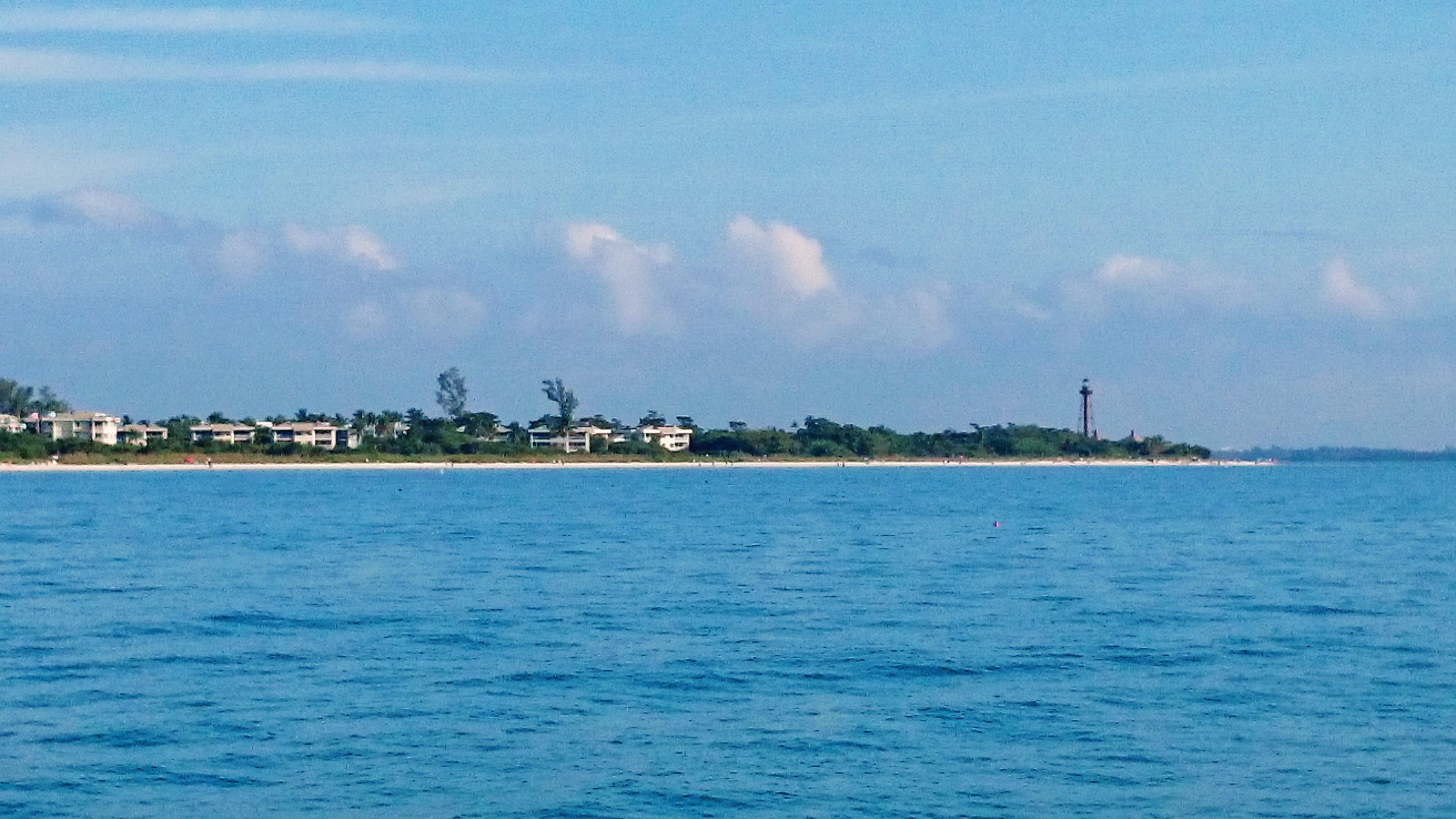
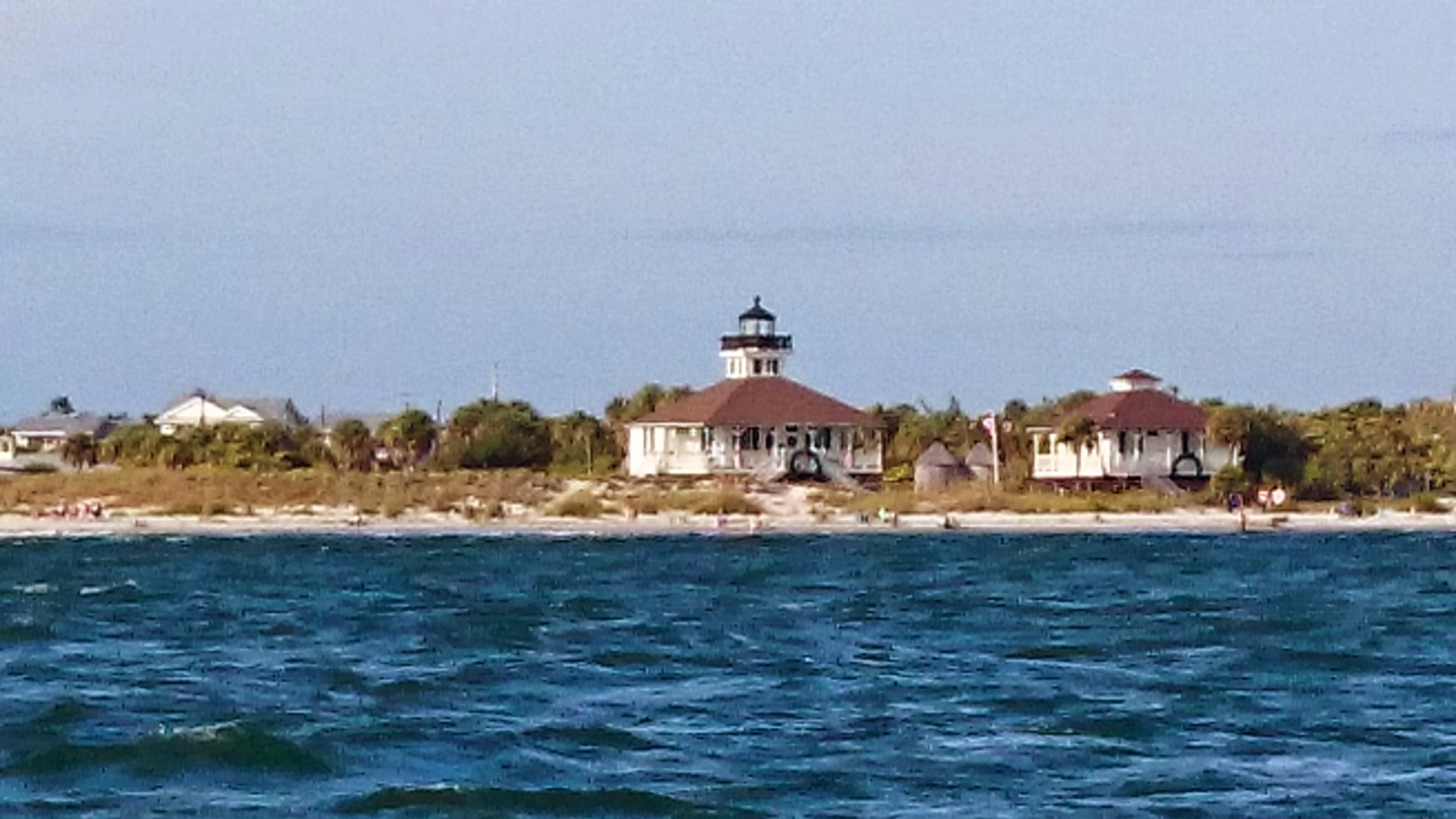
Provisions properly cooled, we motored away from Fort Myers Beach and out into the Gulf past Sanibel Lighthouse into the clear blue waters off of the Sanibel Island shore.  There was no wind but we could see a large pod of dolphin fishing a few hundred metres away. Jim headed toward them and cut the motor.  Drifting quietly, we could hear the “whoosh” of their inhaling and exhaling. It was quite a sight as a dozen of these clever mammals encircled schools of fish.  Sadly we had to move on.  The wind began to fill in and we sailed into Captiva Pass at North Captiva Island and then over to Bokeelia at the north tip of Pine Island.  Once again, we found a quiet mangrove pond to drop anchor in.

Now when I scout these places to anchor, I usually have some idea of the depth of the water.  There is only a small tide in Florida and as freshwater sailors, it’s pretty easy to forget that little tide.  As I lowered the anchor into what we thought was to be at least 1.5 metres deep, the tip of the anchor shaft stuck out of the water!! But we were still floating!? I asked Jim how long the anchor shaft of our 22lb Bruce-style anchor was. He guessed about 18″ so I told him we were in about 16″ of water!  We had pulled up the centreboard all the way and tilted up the rudder to enter the mangroves.  Jim steered us slowly into the pond with our Tohatsu 6hp outboard. There must have been a little sandbar ahead where the anchor shaft had stuck out but the mangrove pond was too murky to see the bottom. However, we liked the quiet area and decided to stay. Sure enough, the tide soon went out and we settled into the soft muck.  

Sometimes in salt water, you can hear a weird “snapping” on the outer hull.  When we first heard this we were puzzled. We later learned that microscopic shrimp blow jets of water at the hull to dislodge food thus making the odd crackling noise like Rice Krispies!  We heard the tiny creatures again this afternoon and the sound was very loud!

After we settled in and screened up, we went for a paddle to Bokeelia.  As we approached the inlet, a long, large dolphin came toward us fishing and passed Jim’s kayak by just a few metres.  How special!  We enjoyed paddling by this old Florida village. It was pretty quiet.  We saw an ice cream cone sign on the local store/marina building so we dragged the kayaks ashore by some old fishing boats.  I literally marked “Ice Cream bars and cornets” on my chart for next time! We walked the “town” a little for more exercise but the sun was getting lower and we didn’t want to return to the boat at dark. That would encourage our insect friends to visit and we didn’t want the boat full of bugs! 

One of the other interesting things we saw were long shallow draft fishing skiffs with a motor well in the centre of the boat. These were usually steered from a high central steering station above the motor.  One fisherman told us that it was easier to see the ever-shifting sandbars and shallows as well as signs of places to fish like birds above the water or jumping mackerel.  The nets could go out of the stern of the boat and not get tangled in the prop. Very clever.

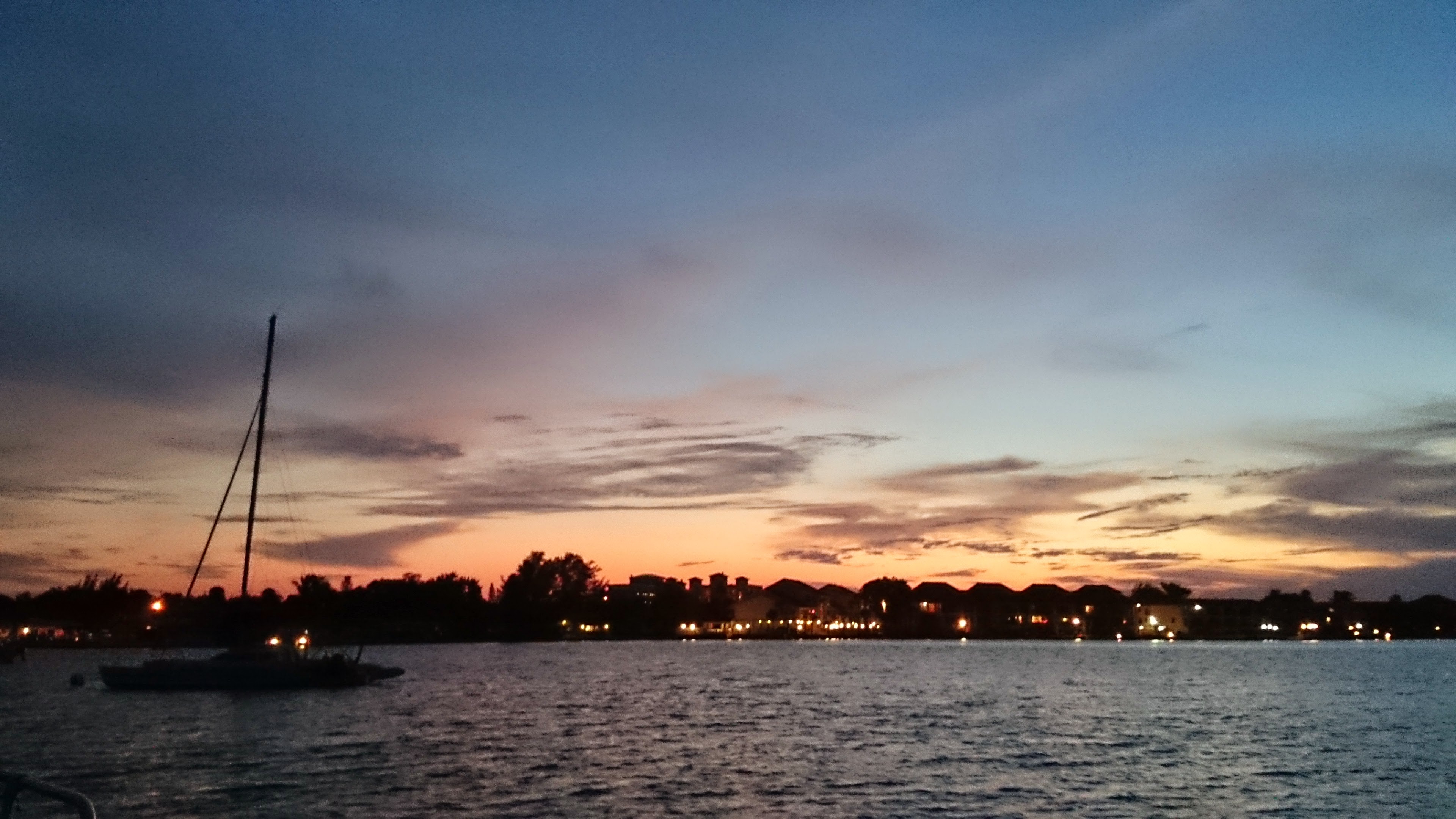
On New Year’s Eve we motored and sailed across Charlotte Harbour to Gasparilla Marina in Cape Haze.  We thought it might be a happening place for New Year’s Eve. Because of our width, the marina had us tie up to an outside dock so I was worried about a lot of boat wake. But I needn’t have been concerned as the place was pretty quiet.  We enjoyed a late lunch and drinks at the marina bar then strolled around the nearby hamlet of Placida. It was a lovely balmy evening.  

Back on the boat we enjoyed a barbeque dinner and settled in to enjoy celebratory drinks in the cockpit.  Another lone dolphin cruised its way through the marina hunting whatever yummy fish lurk under the docks.  In the distance we could hear some fireworks as darkness fell but nothing at all was happening in the marina!!  We learned the next day that most folks go out to some nearby island to set off fireworks.  Oh well. It was a nice night anyhow.  

The next day we wove our way through the narrow channel markers out of the marina with three dolphins riding our bow waves.  At Gasparilla Island, we called on the VHF radio for the Boca Grande Causeway swing bridge’s next opening.  The bridge tender replied that she could open the bridge in 10 minutes. According to my chart, this particular bridge opens on the hour and every half hour during weekdays. We sadly headed to the boat ramp at Eldred’s Marina nearby and got Raise a Little Hull ready to pack up and drive to Fort Walton Beach on the Florida Panhandle where a friend would store it until March when Jim and his friends Paul and Don would race in the 2015 Corsair Nationals.

We had a wonderful trip with great weather and lots of new places that we explored.  There is nothing like cruising new areas on your own boat.  Fair winds friends!

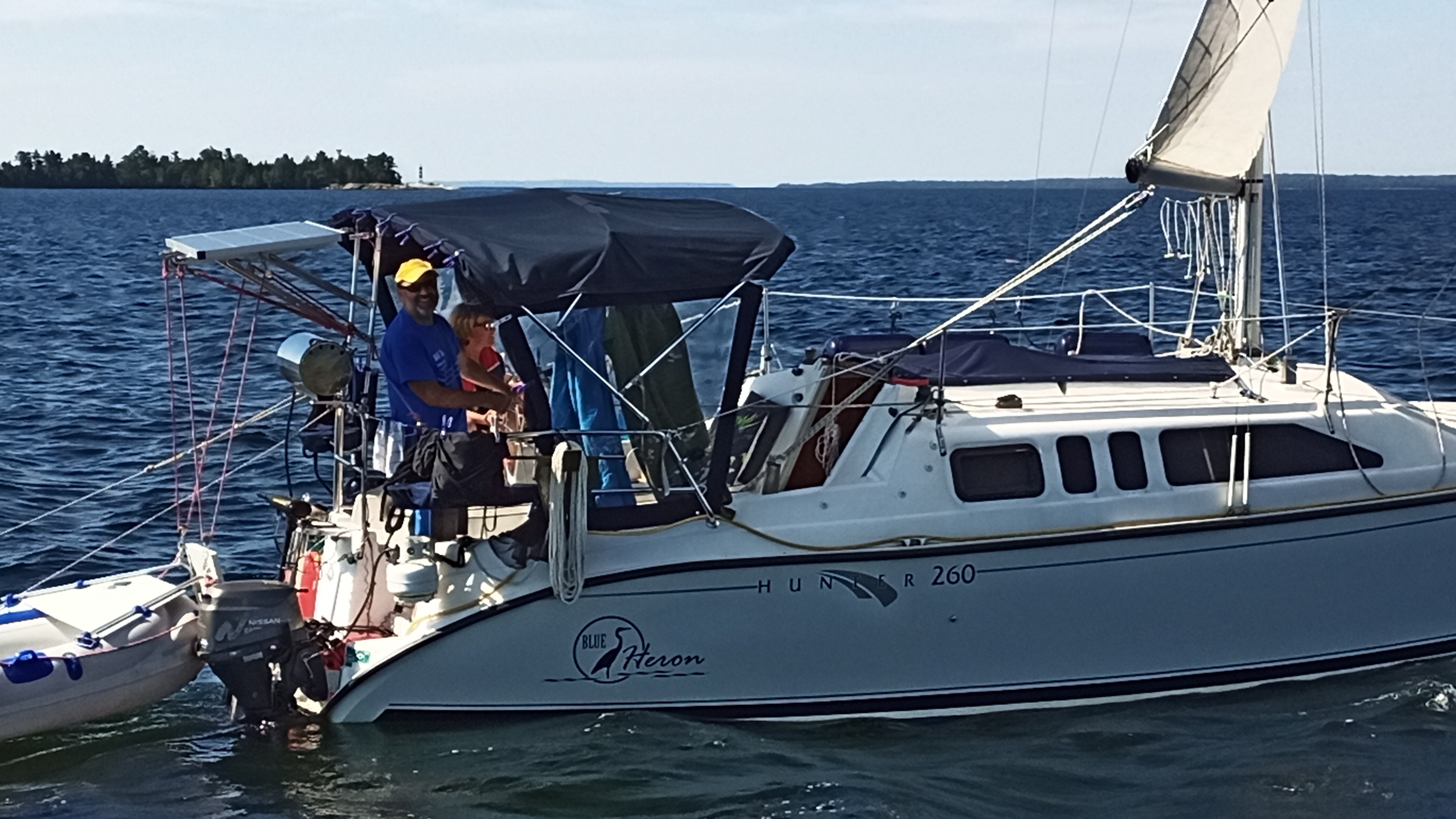
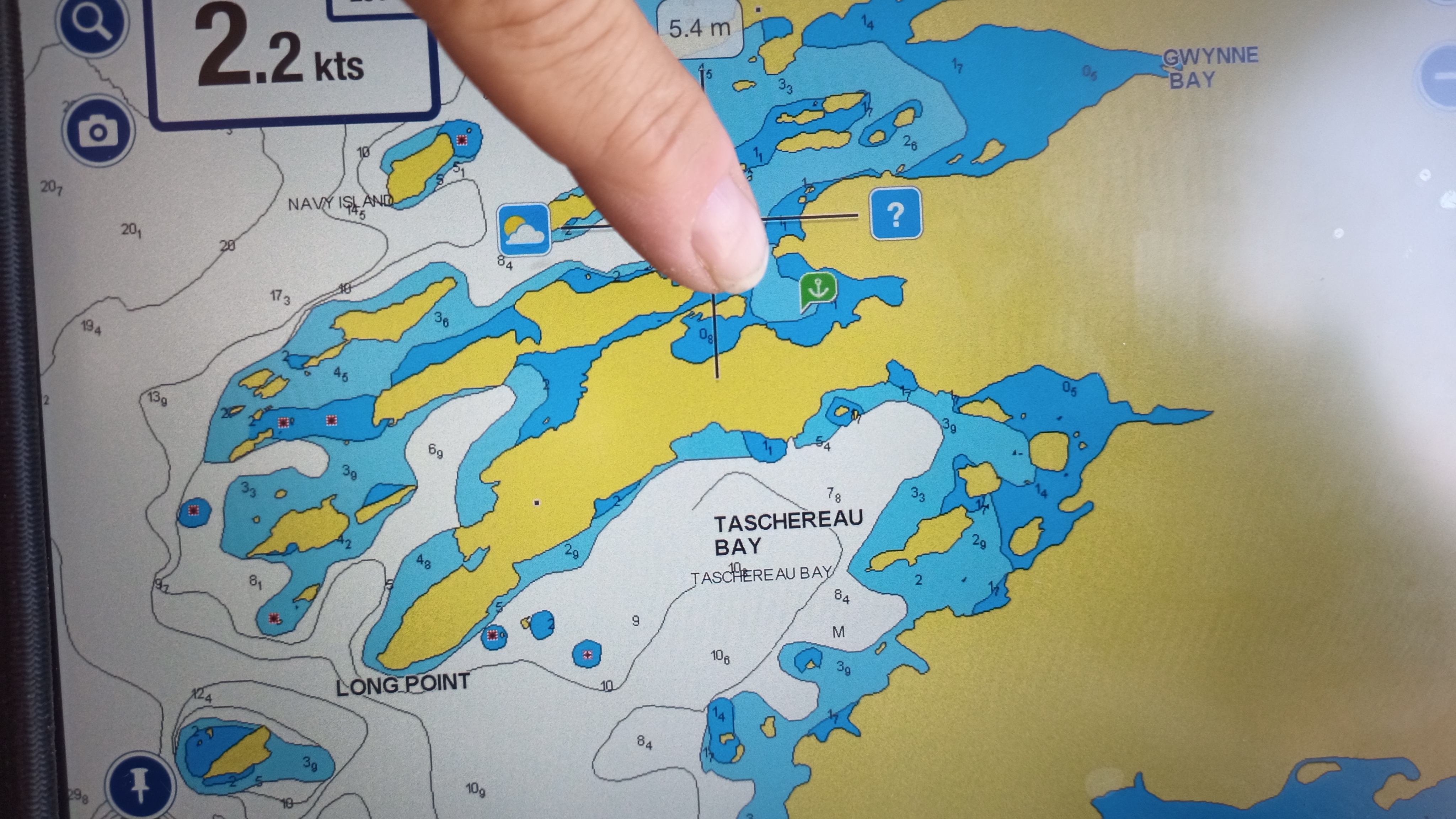
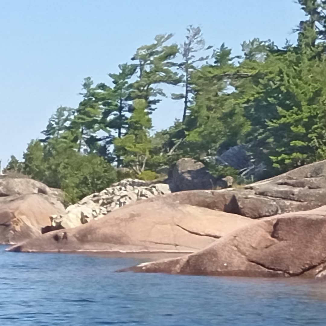
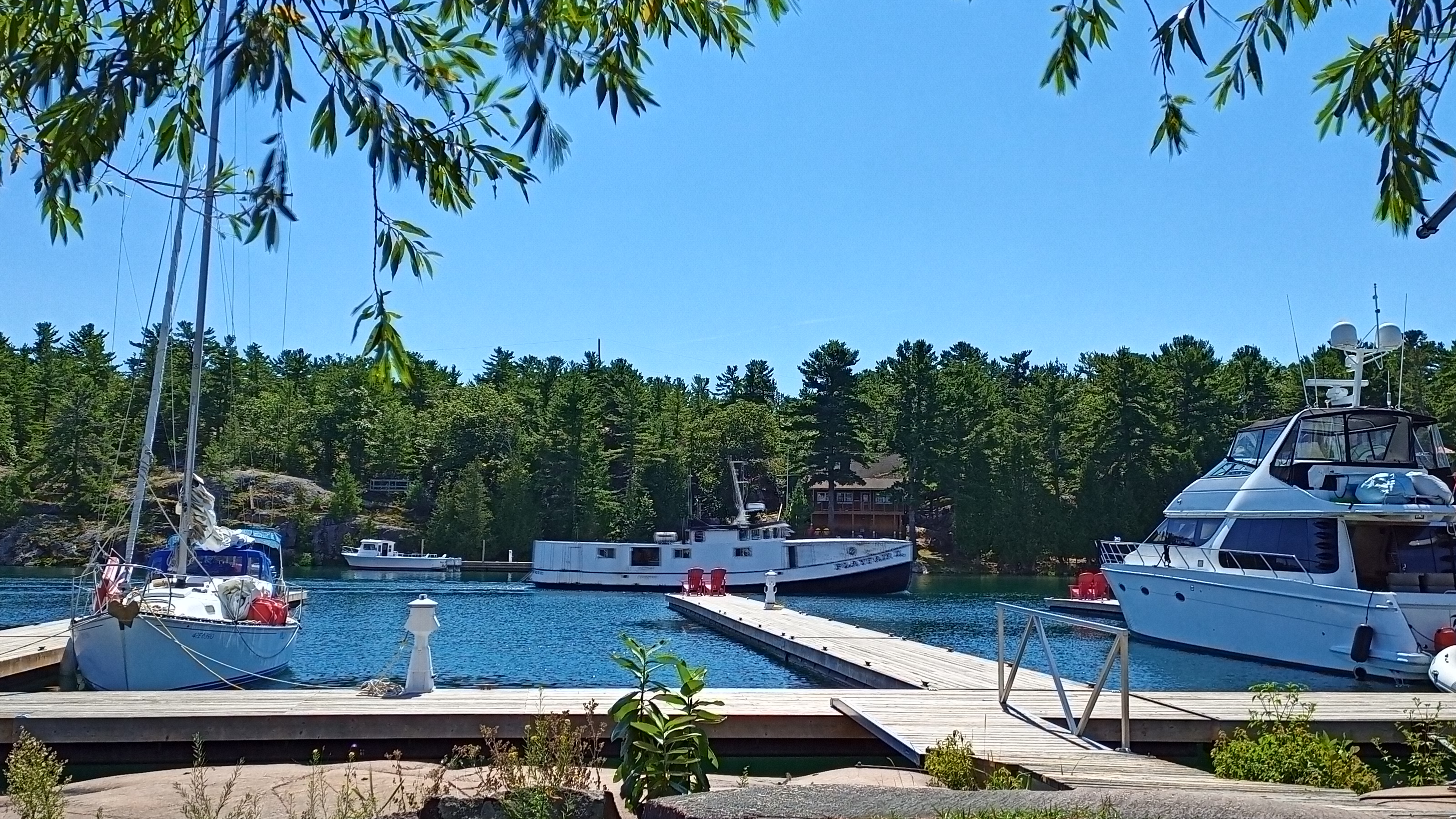
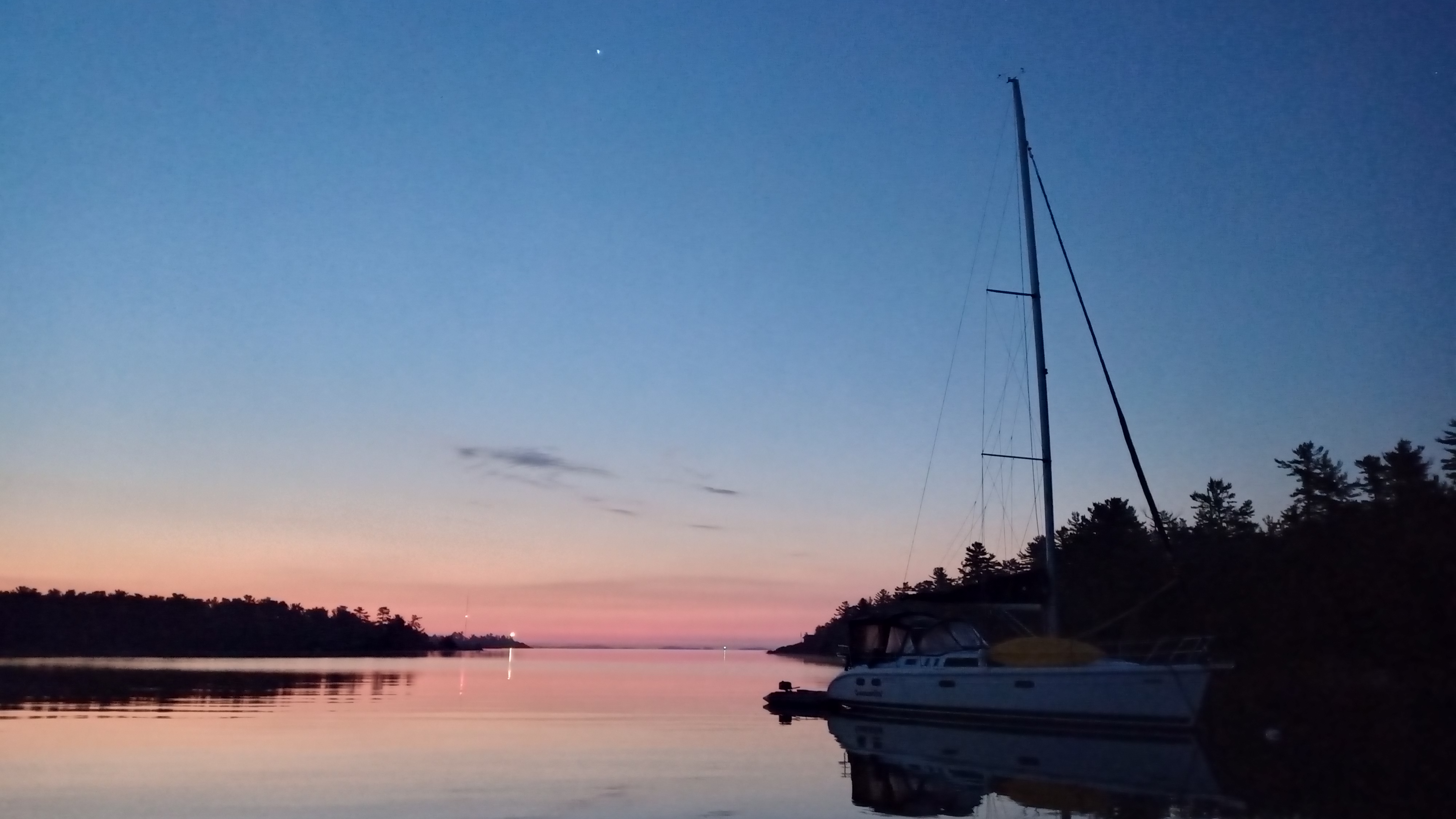
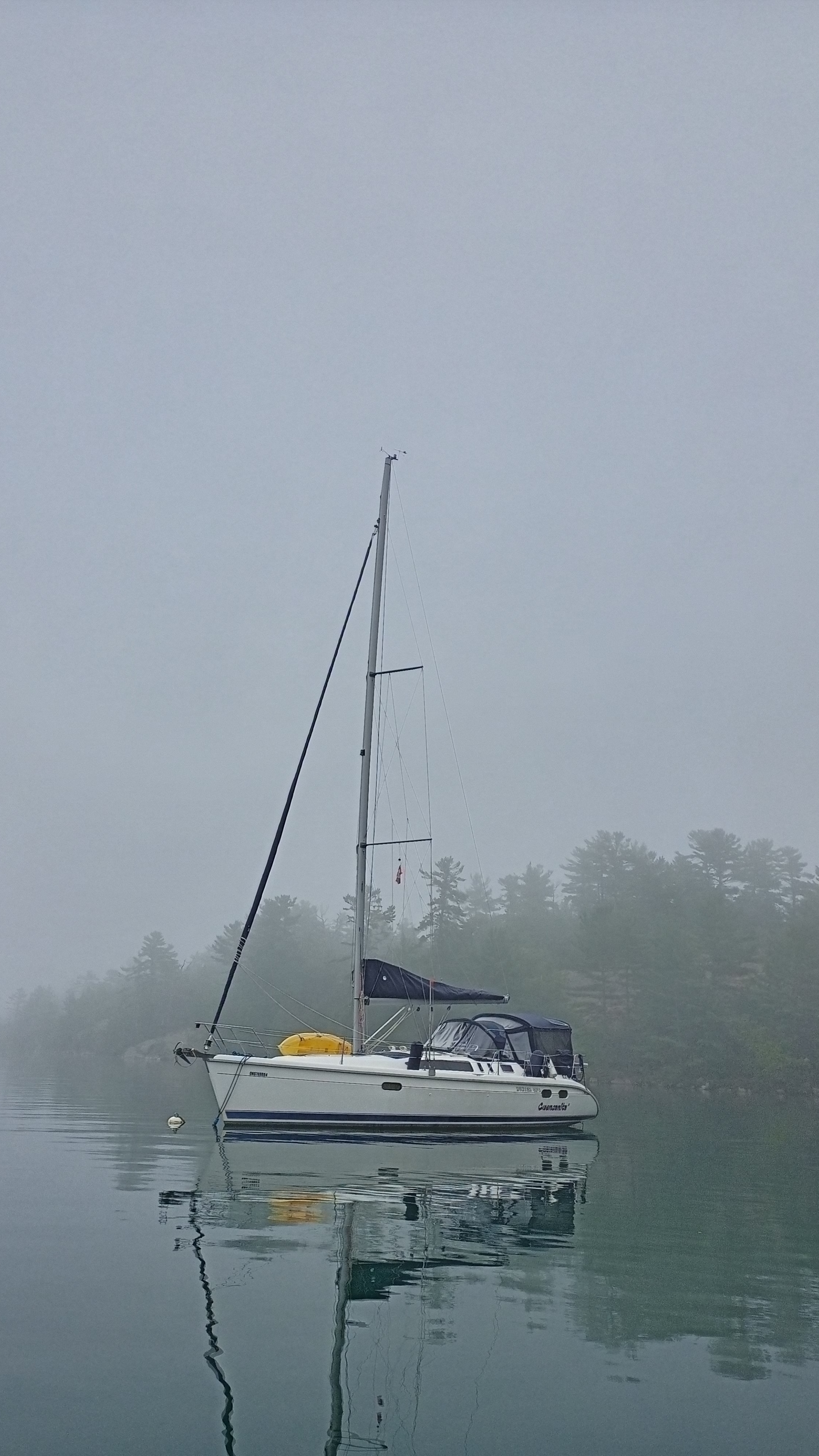
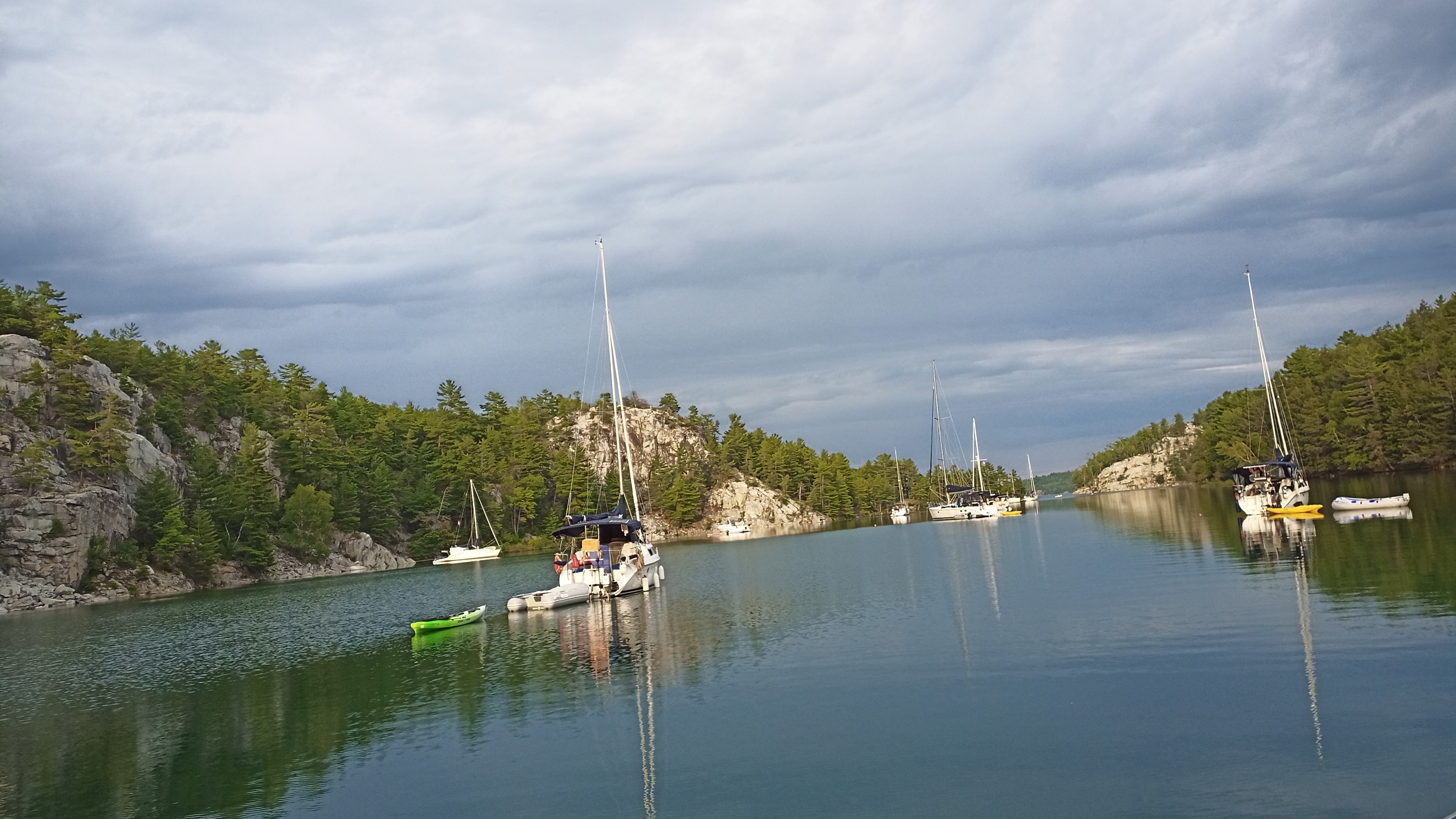
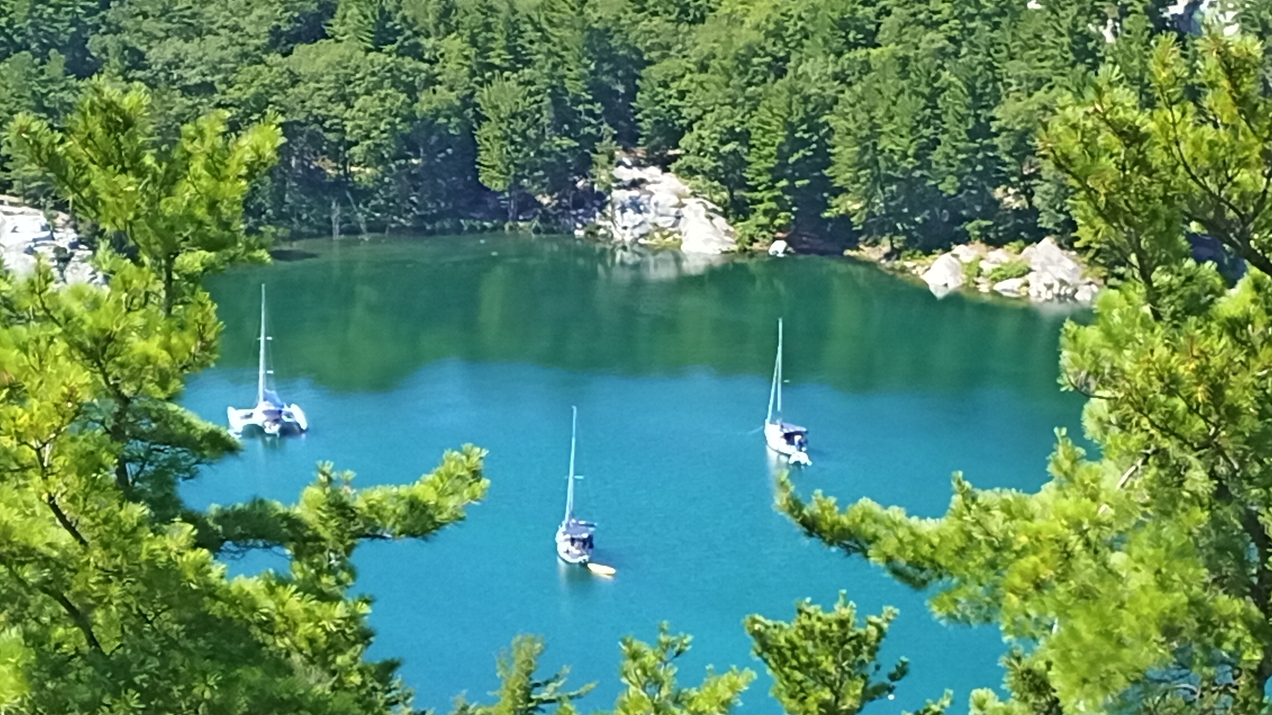
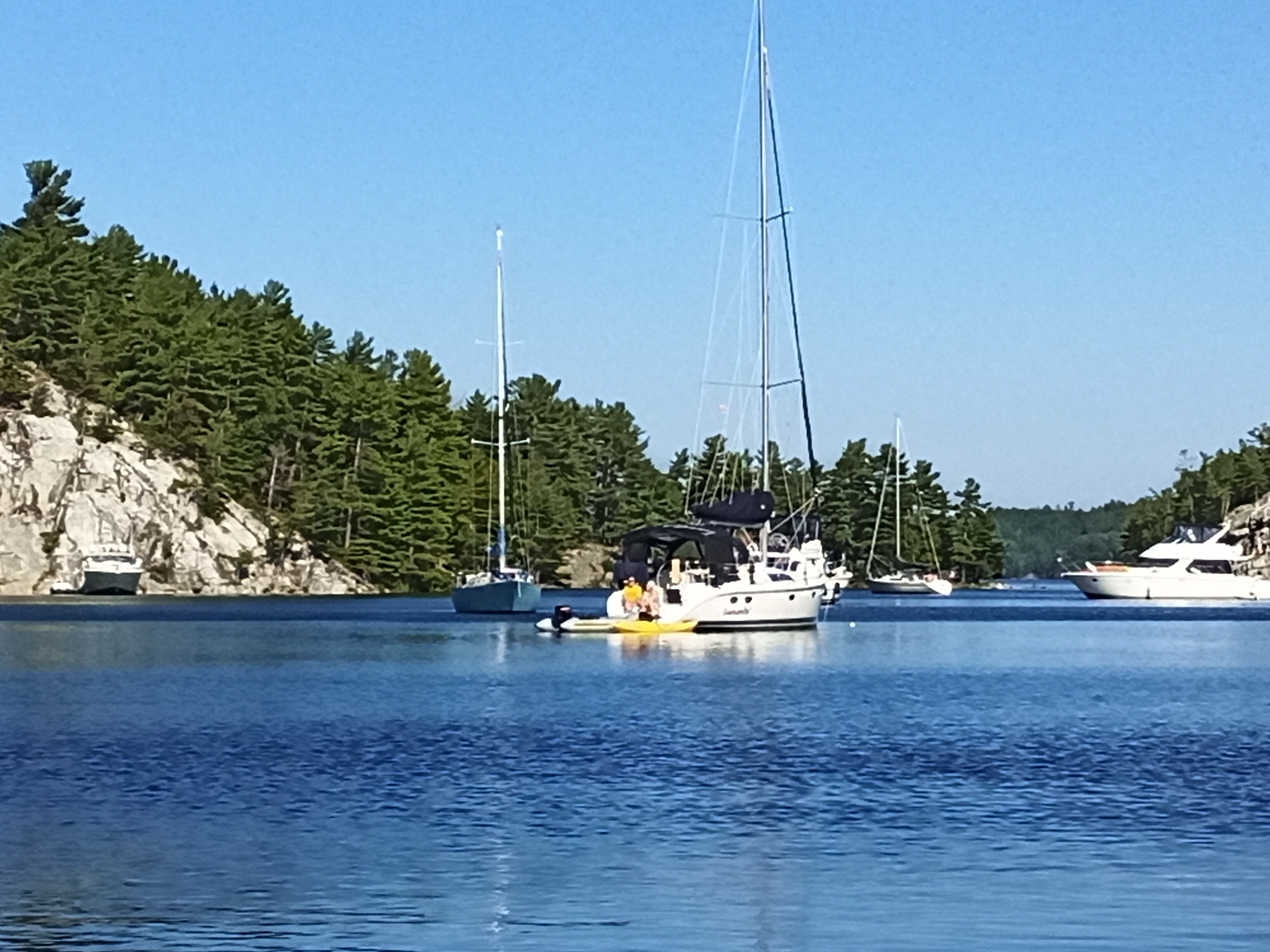
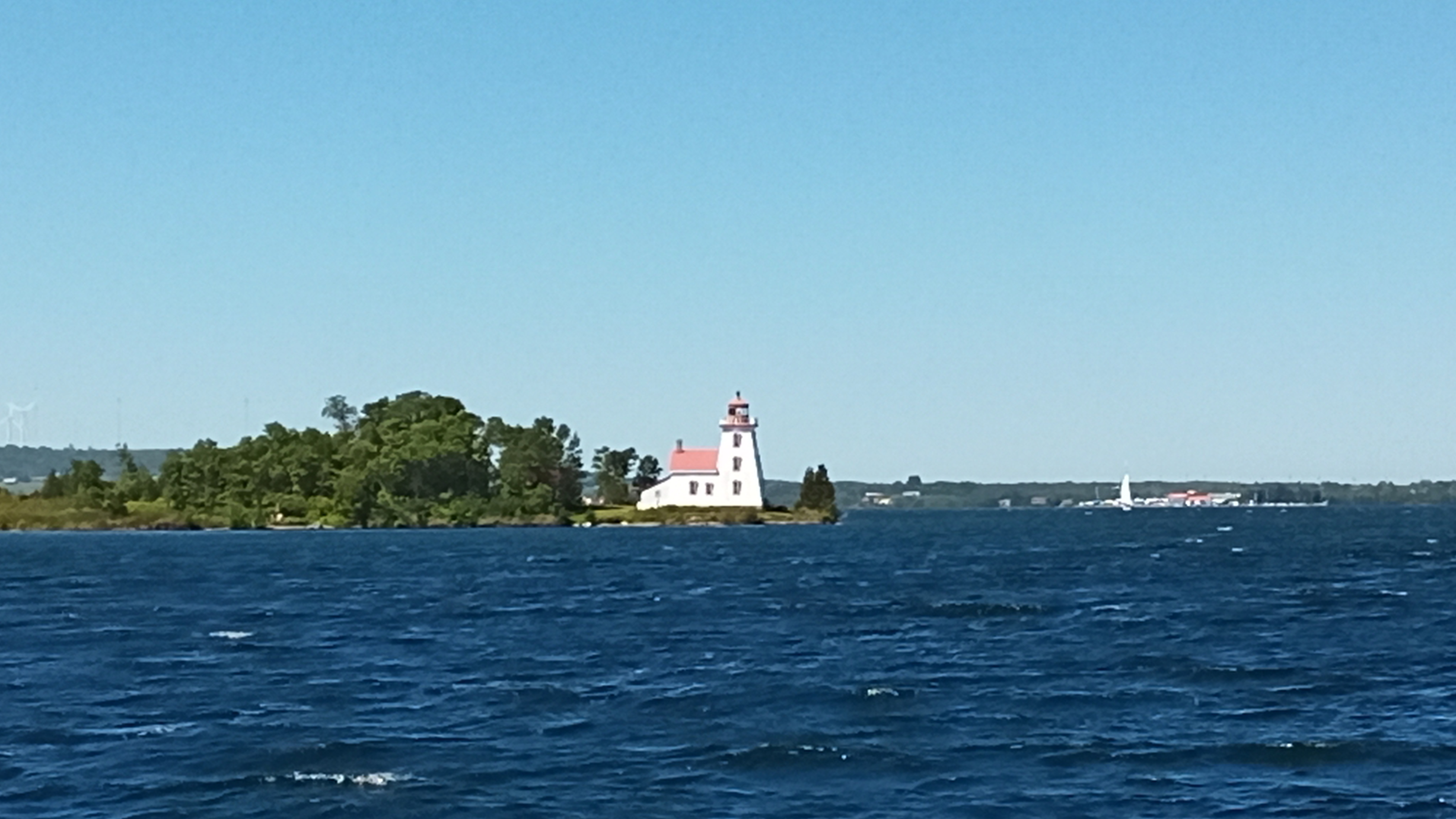
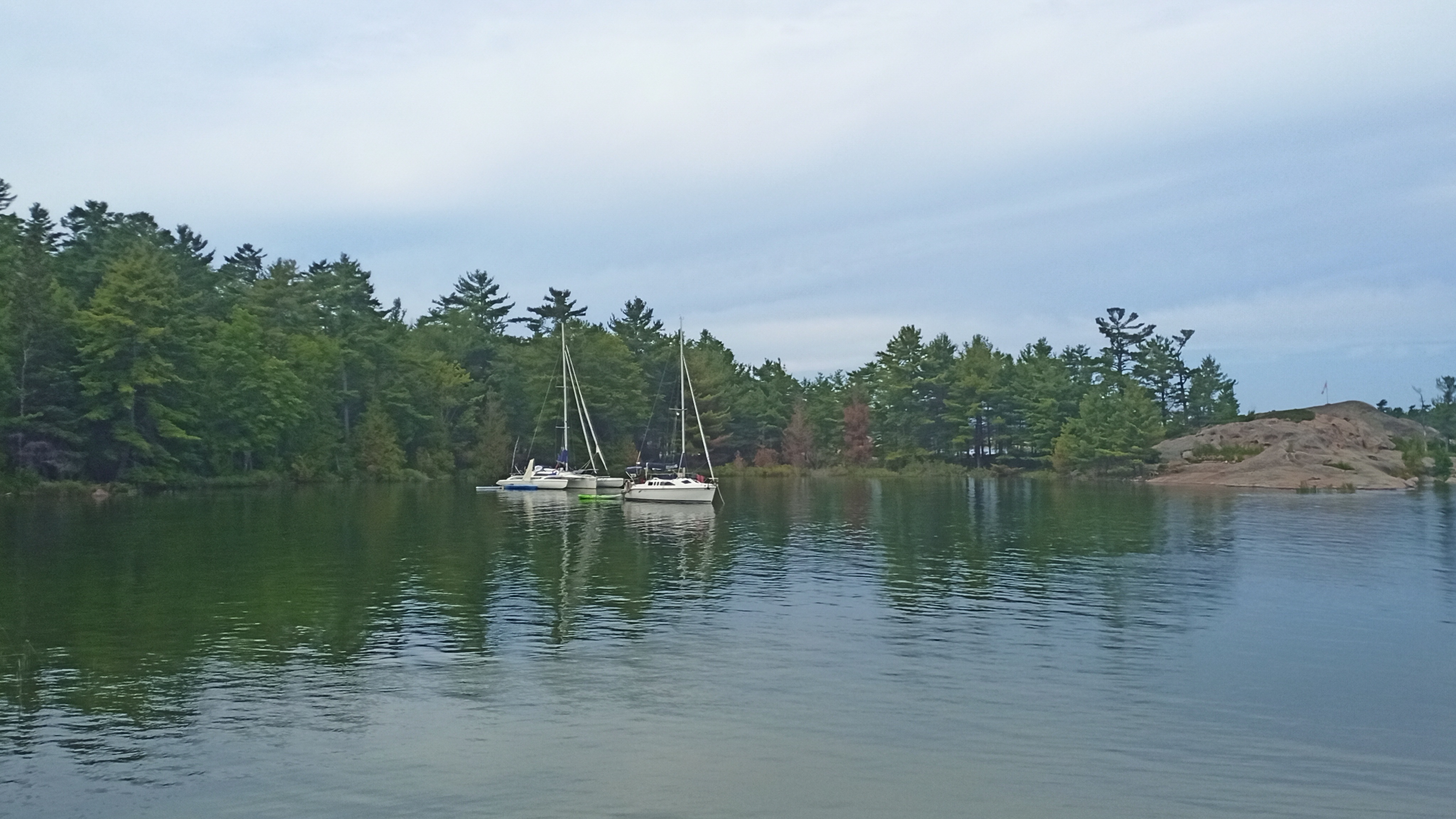
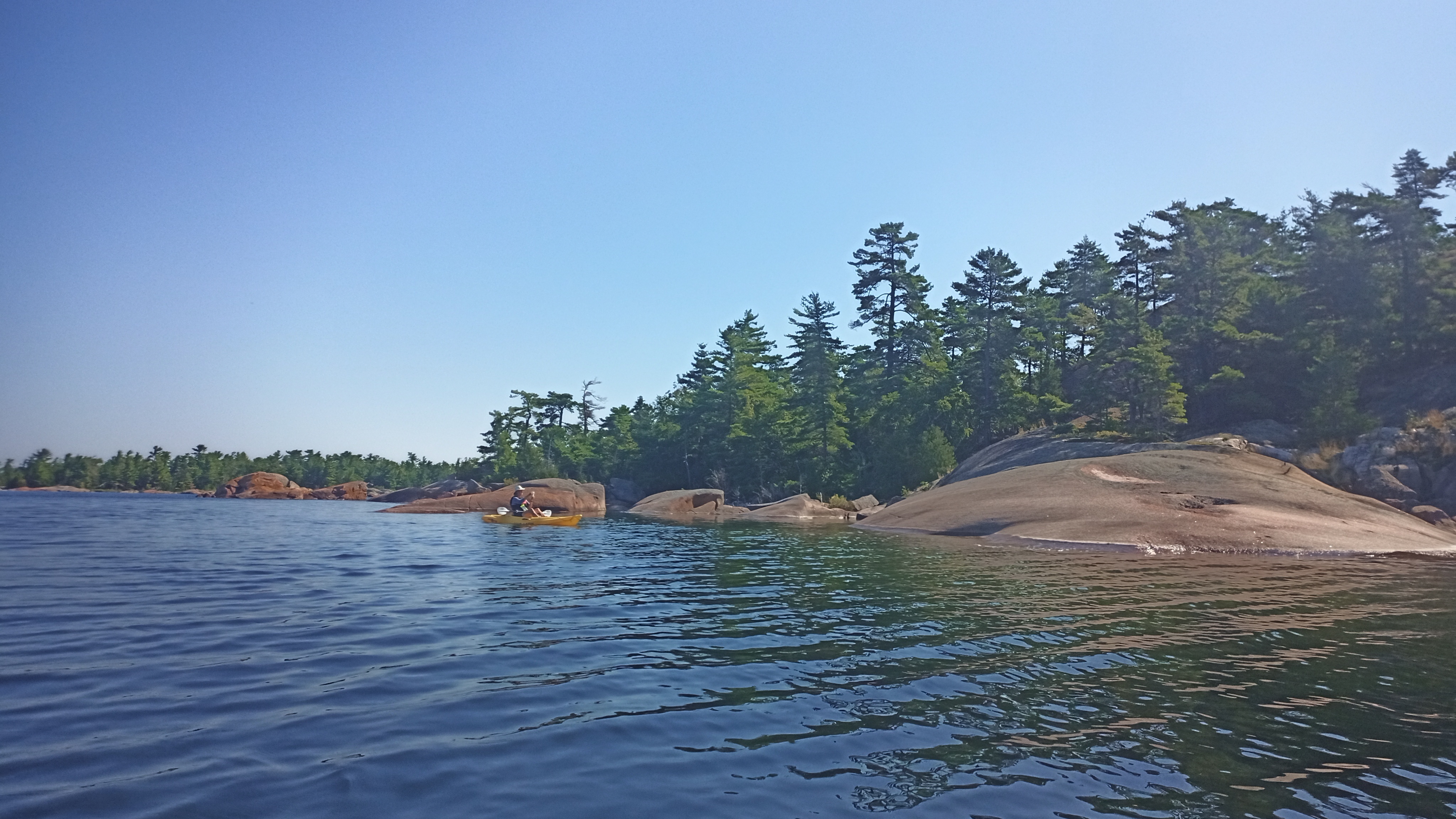
A gallery of photos from our cruise is below.


Posted in Florida Adventures | Leave a comment

Now for the Rest of the Story Part 5 – Bahamas Adventure 2017: “Almost There….or…Not Sunk Yet!”

This is the final post about our Bahamas 2017 rescue of the damaged Corsair F-31 trimaran.

As we were hunkered down out of the raging east winds on South Bimini island, we continued to pump out the boat every 4-5 hours. Our routines became tied to these intervals. Wake up, pump the boat out, go for a hike, pump the boat out, do laundry, pump the boat out before supper, etc. As long as we followed the schedule, the water never came above the floor anymore. I imagine that it must have been a little like having a newborn on a feeding schedule! The pump is manual with a steel pipe for a handle that goes into it. It worked like a charm but we had our fingers crossed that it didn’t break or fail in some way!

We tried to head to Florida early one morning in stiff but favourable south winds but the waves were still too high as a result of three days of high winds. We headed into the shallow waters off of the Shark Lab in Nixon’s Harbour and dropped anchor around 2:00pm over clear sand in about 6′ of water. We had read about difficulties holding on the Navionics app so we checked that the anchor was in deep….it was not so we reset it around 4:00pm. Much better. It was to be a settled night but one should err on the side of caution right?

Jim and Paul played with the toys (paddleboard and dinghy respectively) while waiting to see what the holding was like. I didn’t tell Jim that this is a favourite bay for hammerhead sharks at certain times of the year but he seemed wary of sharks…maybe because we had visited the Shark Lab earlier in the week and had just seen a large lemon shark a few miles out as we turned around and headed into the bay. As he was paddleboarding, Jim was very careful not to fall in!

Just to note, we were on a little bit of a schedule to get to Florida so Jim could race little Leftovers in the Everglades Challenge. Otherwise, we might have tried to explore the nearby wreck of the Sapona, an old rusting hulk partially submerged not too far from Nixon’s Harbour.

There were large patches of seagrass where we watched sea turtles feeding as we enjoyed sundowners mixed by bartender Jim, mindful of the dinner alarm to pump out the boat again. It was a lovely spot and a great place to end our stay in the Bahamas.

Finally the next day, we found that conditions were great for a sail to Florida and away we went….pumping out the boat and keeping a sharp eye out for ships in the busy shipping lanes of the Gulf Stream.

We turned our bow to the south-west and beat along as far as we could in a beautiful 12-15 knots of wind until the Gulf Stream grabbed us and drew us northward in about a 3 knot current.

As I recall, the winds shifted a little so we were able to reach northwestward across the Stream until it died down and we were forced to motor-sail for a while. Twice we diverted our course to pick up bunches of mylar balloons with jumbles of trailing string and ribbons. Shameful.

We neared the Florida coast and the wind came up again. We picked up speed and dodged a bunch of cruise ships leaving Port Everglades. We flew into Fort Lauderdale doing about 10 knots under sail nearing sunset. (My Mom watched us entering the inlet and captured us on the PTZ webcam!)

We tried to call US Customs but the 1-800 number wouldn’t work on our Canadian cell phones…even though I had a US plan on a US Sim card in mine!! We’d deal with that in the morning. Now, where to dock or anchor? I’d forgotten about anchoring in Lake Sylvia, just around the corner from the 17th Street Bridge. Silly me. So we tried to radio a couple of marinas. But there was no answer as we were coming in after hours. So I called one of the local stopping over places and a gal in their bar said to just tie up where we could and we could settle up in the morning. Sweet! We found a space on the dock and tried to wedge ourselves in between two large cruising catamarans. The crew on the cat ahead of us saw us coming in and kindly offered to raise their dinghy so our bowsprit would fit comfortably underneath it!! He put his late day beverage down and pushed a button. Up went the centre console dinghy and we squeezed into the gap. Our boat looked pretty shrimpy between those two beauties. My guess is that they were in the 50-60′ range. Once we were tied up, the crew from the cat ahead of us came over and asked where we had come from (since the yellow Q flag was flying from the flag halyard). We said we’d come over from Bimini today. He looked impressed and gave us kind of a “in that little boat?” look. Funny. We pumped out the boat again and prepared for dinner.

We’d made it to Florida and we were safe. We’d come 300+ nautical miles with a damaged boat. We hadn’t sunk and the pump was holding up so far. We all felt a sense of accomplishment. Jim and I were particularly glad that our friend Paul had agreed to join us. He’s a great sailor, a great fixit guy and pretty good with the barbecue too! Thanks Paul. What an adventure!

Posted in Bahamas 2017 Adventure - Saving an F-31 | 4 Comments

Now For the Rest of the Story – Bahamas 2020: Part 2 – Another “Learning Experience” or “The Spoils of Anchoring in Florida”

One of the terms which a cruiser might note on Florida nautical charts is the term “Spoil Area”. After the episode which I will describe below, this term became a puzzle to me (Carleen). Logically it would seem to mean that it was a place to dump spoils – the ground dug up from somewhere and dumped there… say, from a dredging job. Dirt, or maybe sand I thought….not necessarily!

On Valentines Day, 2020, Jim and I had sailed from Manatee Pocket in Stuart originally intending to try for the Bahamas. But the forecast wasn’t ideal so we sailed south along the Florida coast under heavy gray skies in drizzling rain to Lake Worth Inlet. Our plan was to anchor off of the eastern side of the Blue Heron Bridge in Riviera Beach…next to Phil Foster Park…a place I had come to know well in my few weeks stay on Florida’s Atlantic coast in spring 2017. It was a great place to snorkel and I’d even brought my Mom there to try snorkeling. I loved that lively and vibrant park where kids ran around on the beach at low tide, all kinds of folks fished off of the piers , groups of newbie scuba divers schooled in the shallows and older folks sat in chairs and soaked up the sun.

I had seen boats at anchor off of the park in 2017 and reckoned that it would be a good place to stay the night in order to avoid the predicted northerly that was to blow in. Singer Island would give us some protection I figured. (I’ll put the chart below.). I read through some of the reviews of the anchorage which weren’t great but as we were only to stay the one night, it would be fine right?

Darkness was fast approaching as we made our way under the long span of the Blue Heron bridge and swung to starboard into the anchorage. The place looked the same but it seemed as though the number of near-derelict boats had increased. Sadly, the scourge of derelict boats at anchor is a pretty common problem in Florida. It infuriates me and saddens me at the same time. It infuriates me when folks just leave junk boats barely afloat or even half sunk when they’re not even using them – at all! It’s one thing if a rough-looking boat is maybe your only home, you go to work everyday and are trying to make ends meet, but I am referring to utterly abandoned boats that could become a danger to others. Shameful.

We made our way slowly through the anchored boats and found a spot with room for Thunderstruck to dance around on her 33lb Rocna Anchor. The anchorage is pretty shallow (0-1.8 metres or up to 6′ deep) and the water was murky and gray…no way to see the bottom (we don’t have a depth sounder) so we pulled the daggerboard up a little thus reducing our draft while still keeping it deep enough to protect the motor and the rudder. Jim dropped the Rocna and I backed down on it. We toasted a long day and watched a young couple on a heavy old monohull trying to anchor behind us. They were having some trouble finding a good hold but after several attempts, their anchor finally seemed to hold. The lights of Riviera Beach sparkled as the skies cleared and we prepared for a good night’s sleep.

At 2:00 am the anchor alarm went off!!! We scrambled out to the cockpit as we zoomed backward between two boats toward the concrete seawall of the park!! I noticed in a distant part of my brain that one of the boats we flew past was the young couple we’d watch try to anchor earlier! Jim got the motor started and I went forward to let out more anchor rode in case it could catch again. The north wind had come in with a vengeance and with the changing tide, the boats had all swung wildly.

We got the anchor to grab not far from shore but neither of us were comfortable there with that hard wall three hundred feet behind us. So Jim hauled the anchor up again and we headed north through the swinging boats to the other side of the anchorage and dropped anchor again. This time we were closer to the more protected windward shore with few other boats around us. Jim and I agreed that we both felt the anchor was in hard and that we were secure. We set the anchor alarms again and hit the sack aiming for an early start in a few hours.

The alarm to wake up went off in what seemed like seconds later. Darn. The sun was barely glowing in the eastern sky when Jim went forward to haul anchor. But it wouldn’t budge. We were in very hard or hooked on something. Here is where the “spoils” come into play. Jim had me motor forward as he tried to pull up the anchor again. When he finally got it to the surface after some very hard pulling and probably some swearing, he saw that we were hooked onto a piece of old rusty wire cable! This definitely wasn’t on the chart! He dropped the anchor very quickly and it freed itself from the cable. Thank goodness. With the dawn lighting the sky, we swung into Atlantic Intracoastal Waterway, in anticipation of a long day of motoring under many bridges as we made our way south sheltered from the howling north wind.

So what were the lessons learned from this episode?

  • “Spoil Area” on a chart might mean just that….a place full of whatever junk was dumped there!
  • Had we actually anchored on junky spoils the first time when we had arrived? It’s hard to say as normally if the anchor doesn’t hold, you can feel it jumping or skipping. Maybe we had caught on an old concrete block? Who knows…
  • Anchor alarms work but it’s good to set a small drag perimeter as we were just damn lucky to not have hit those two boats we flew past while dragging!

By the way, we love and normally trust our primary anchor, the Rocna as well as our secondary, the 22lb Bruce style anchor. We just need to learn not to anchor in dodgy places as well as to be extra vigilant about changing winds and tides.

Finally, maybe an additional anchor watch or two at night might help? Will we learn THAT particular lesson? You’ll just have to stay tuned….

Fair winds Friends!

PS. If you’re interested in a views of this area but from the south side of the Blue Heron Bridge and the Peanut Island/Lake Worth Inlet view, Click Here to watch a local webcam that pans along the ICW. You’ll see boats anchored to the left of Peanut Island in the shallows by the bridge and to the right in the big mooring field.

Note: in the chart below, you’ll see two little House symbols…these are the two spots we anchored after we dragged the first time. There is also a shot of a mostly sunk sailboat as well as a storm-damaged boat in the anchorage.

Posted in Bahamas 2020 | Leave a comment

Now For the Rest of the Story – Bahamas 2020: Part I – Hard Against an Island…at Night…in a Storm

This is the first story about some of the “learning experiences” which Jim and I had when we cruised the Bahamas in the winter of 2020. This crazy year being what it is, we shouldn’t have been surprised that some things went wrong. But hindsight is twenty-twenty right?

We had been anchored off a tiny island near Bullocks Harbour Settlement on Great Harbour Cay in the northern Berry Islands for a couple of days. The depths in our quiet little anchorage were shallow, but as a trimaran with a daggerboard and rudder which can be pulled up, we really only needed 20″ of water to float. This anchorage had a tidal range of about 12″ or so and we anchored in about 4′ of water, in what seemed like clear sand.

We had gone to Bullocks Harbour several times and explored down the Cay to Great Harbour Cay Marina as we were to meet friends there in a couple of days. The weather had been pretty fair…sunny and calm. We had enjoyed a great couple of days in that nook with the tiny island protecting us from the south then west winds.

We learned however, that the winds were going to clock around to the north (as they do in the winter) and a cold front was pushing a storm our way. Though the rain was forecast to start that evening, and the 180 degree wind shift had already happened, the big winds were not supposed to come until later the next day. We felt that our trusty 15kg Rocna (33 lb) was dug in well. We decided to wait until the next morning to move the boat into the big harbour. In the meantime, the coming rain meant an opportunity to set up a rainwater catchment system in the cockpit using a small tarp hung off of the folded up bimini aft and a bucket. We do have a watermaker onboard to turn salt water into fresh water but rainwater is free right?

I had gotten into the habit of setting a couple of anchor alarms on our cell phones each night. These use our phones’ built in GPS so no data is needed. Around 3:00 am (of course), my cell phone anchor alarm went off. We grabbed our headlamps and scrambled up into the rainy and now very windy cockpit….just as we hit the little island. The aft part of the port (left) pontoon hit first and the boat pivoted, turning the whole port side of the pontoon to the sharp rock ledge!

Jim and I ripped down the little tarp, threw it and the bucket below, and he started the motor. He yelled over the rising wind and driving rain to grab some fenders to wedge between the pontoon and the rock. I did that and we could see that the wind had grown too strong for our Honda 9.9 hp outboard to push us off.

Clearly we could not sustain the pounding and scraping against the limestone rock. We needed another way to pull the boat away from the island. I yelled that we should try kedging her off using the two anchors. Jim yelled ok and I jumped into the water…with no lifejacket or shoes!!! Dumb move. There is that hindsight thing again.

The tide was up and the water depth was just above my waist. I followed the anchor rode out along the mainly sand bottom. As I walked, I felt no rocks, weeds, nurse sharks, rays or even shells as I made my way to the Rocna anchor. I had my headlamp on and Jim had turned all of the exterior lights on which helped a lot. I grabbed the anchor and began to walk it to windward of the boat as Jim let more rode out.

Then I went back to the boat to get our second anchor, a 10 kg Bruce style (22 lb). I also grabbed my Keen water sandals and my lifejacket. As I walked the second anchor out, Jim put its rode on one of the winches in the cockpit. I scrambled back up the swim ladder aft. The wind was getting stronger by the minute as the fenders on the port pontoon seemed to grind into the rock.

We slowly kedged the boat off the rock – Jim pulled in the rode from the Rocna on the bow and I winched in the rode from the Bruce in the cockpit. The boat pulled off bow into the wind and pivoted again on the aft part of the port pontoon. Then as we gained enough sea room, I carefully motored the boat into the wind toward where the Rocna had dug in. As I held the boat into the wind, Jim began to gather in the two anchor rodes from the bow. Through all of this, the rain seemed to blow horizontally.

Slowly, slowly we inched toward the main anchor. But what to do? We couldn’t stay where we were. There was no chance of anchoring on the other side of the tiny island and although the tide was high, it was too shallow ahead of us and too dark to try to get into the lee of any land there. After a look at the charts, our decision was to motor out into the big water and make our way past Bullocks Harbour into the main harbour and the safety of the protected shallows just outside of Great Harbour Cay Marina.

We had seen the main harbour during the day and we knew that there were about a dozen boats or more anchored on either side of the channel to the marina. (They had likely known about the coming winds and had wisely moved early!) I knew too that we would have to make our way through a steep-walled rock cut to enter the main harbour. How did I know this? I had seen a couple of newbie sailors take their 43′ catamaran through there on a video! (Gone with the Wynns on YouTube: Click Here to watch the episode…the entrance to the cut is at about 19:30 and they anchored close to where we ended up too). I told Jim that I thought we could do it but that we’d have to look really carefully for marker posts outside of the entrance to the cut.

Jim pulled up the Rocna and we headed out to sea. The waves had built to about a 3′-4′ and were topped with white caps blowing off the tops. We guessed that the wind speed was probably 20-25 knots. We kept all of our lights on and scanned for a couple of big sailboats which we knew had been anchored out there. Sure enough, there they were, tossing at anchor… we passed them by safely and started to watch for the two buoys outside the rock cut. We had our big spotlight out and soon we saw the first marker…the red one. We circled around once and several checks of the chart indicated that we needed to keep it to our starboard (right). A green buoy appeared out of the driving rain just at the mouth of the cut. We kept it to port and nosed into the cut.

The big spotlight lit up the cut fairly well. It’s about 100′ wide and 600′ long. It seems much narrower than that on a boat that is 22′ wide! Jim kept us in the middle and we made it though just fine. The next test was to make the big right hand curve toward the marina and try not to hit any anchored boats. We kept to the pink recommended line on the chart, lighting up the vessels anchored just off the channel as we passed by.

We got all the way down to the shallows outside of the marina and set the anchor. It grabbed hard and we settled in to stay awake for another couple of hours until daylight. We turned off the exterior lights except the anchor light, tidied up as best we could and I reset the anchor alarms just in case. But there was no sleeping. We made coffee and I think we ate something too.

We both were sure that we’d see some holes in the pontoon once the sun came up. After all, poor Thunderstruck had been pounding against a sharp-looking rock ledge of the tiny island. The stormy sky seemed to take forever to lighten but the rain had stopped so we were able to inspect the damage not long after sunrise. To our great joy, there were no holes! The gelcoat had been scraped down the fibreglass in a very small spot on the aft part of the port pontoon and there were a couple of tiny scrapes here and there but that was it! The big thick rub rail along the length of the pontoon, along with the fenders, had taken the brunt of the impact. We noticed too that there was a bit of crumbly rock on the edge of rub rail. This was the soft limestone of the island. The tide had been at the right height for the rub rail to scrape along the rock ledge which was eroded away below it….only the ledge stuck out and contacted with the boat! Amazing.

Ironically, we had dinghied along that same ledge the day before and had noticed how the movement of the sea had carved out the soft rock below the ledge.

We moved the boat into the marina later that day and finally slept as the winds howled above the mast for the next few days.

Yes, hindsight is twenty-twenty. Here are some things we have asked ourselves:

-Should we have moved sooner? You bet!

-Did we trust the forecasts too much? Absolutely!

-Should we have checked the set of the anchor before we went to bed? Yes! But as it was raining, we didn’t. Looking back now, we should have at least backed down hard on it with the motor.

-Does kedging off work? Brilliantly …at least in that situation!

-Did I worry about sharks or rays in the shallows as I walked the anchors out? Not really though I did consciously try to shuffle my feet so that I wouldn’t step on a ray.

-Was I lucky that the bottom was smooth and sandy as I walked over it? For sure. But we wondered if the bottom had been “scoured” and that there was only a thin layer of sand over rock where we had dragged. We’re not sure, but the anchors definitely held when we kedged off.

-Was I afraid for the boat? No not really. I knew she could take some damage to the pontoon and that we could fix it if necessary. (I found out later that Jim had not brought any fibreglass cloth with us! I had thought it was a necessary part of our kit!? We’re still discussing that…)

Was I afraid at the time? No, not at all. I knew we would solve the problem. Besides, we were too busy to be afraid!

There are more mishaps uh, I mean “learning moments” from our cruise to come. This one however, was probably the worst. The one in Florida? That was the luckiest. But we’ll save that tale for another post.

Fair winds friends!

Click Here to watch a video of our last evening in the tiny anchorage outside of Bullocks Harbour. The boat hadn’t turned to the north yet.

The first two photos below show the main inner harbour from on the road to Bullocks Harbour. The next three show the rock ledge and the rain catchment system we had rigged up in the cockpit, as well as our tri at anchor. The final shots are from where we anchored in the main harbour as well as screenshots of the weather forecast, the anchor alarm on my old cell (the new cell has a circle for the drift range) and the map of where we were on Great Harbour Cay in the Berry Islands.

Posted in Bahamas 2020 | 2 Comments

North Channel Cruise 2020 – Killarney to Midland: Good-Bye North Channel, Hello 30,000 Islands!

There have been times in the past when the tiny village of Killarney, and indeed a good part of northern Georgian Bay, becomes enveloped in a dense shroud of fog.  The morning of our last day in Killarney dawned with a beautiful sunrise…just before a thick fog socked in the area! We were moored just across the narrow channel from Killarney Mountain Lodge and I could not see the buildings, docks or boats on the mainland shore.  It was so thick that our friends’ boat on the next mooring ball just feet away was barely visible at times! It was very eerie as you could hear people speaking over at the Lodge through the gray haze.

The fog burnt off as we helped our friends on Adventure get ready to head home and completed some chores such as doing laundry, shopping for a few provisions, filling up the gas and fresh water tanks. By early afternoon, the remaining three boats in our small fleet were ready to sail eastward to a nearby anchorage for the night.

We headed into Killarney Bay toward Collins Inlet.  We figured that we would anchor just inside the inlet at a place rather blandly named Mile 58 on our Navionics charts notes. Then the next day, head back around the outside of Philip Edward Island and Beaverstone Bay the next morning toward the Bustard Islands…an eastward sail of about 25 nautical miles.

The anchorage at Mile 58 was tucked behind a couple of islands just off of the narrow passage through Collins Inlet. I imagined it would be a quiet spot and it was despite being very close to some of the wilderness campsites of Killarney Provincial Park.  We saw several folks kayaking and canoeing from groups of campers along the nearby shore of the inlet. Jim took the opportunity to tool around in the kayak with his fishing rod. He hooked one or two fish, probably large mouth bass, but choose not to keep them.

We enjoyed a lovely Happy Hour on the warm rocks of the small island which we anchored off of.  The scenery was calm and peaceful…the multi-coloured rock of the Canadian Shield, a variety of coniferous trees and cool, clear water all contributed to my ideal vision of this part of our county. Sadly, any blueberries or raspberries had already been picked by lucky campers or bears. 

The next day dawned rather gray with thick, heavy gray clouds filling the sky.  But there was some wind and we made out way back out the mile or so to the open part of northern Georgian Bay to head east. 

As we neared the entrance to Beaverstone Bay, I happened to get a momentary cell signal and decided to check the weather again.  Now there were indications of a strong storm approaching which had a small area of angry purple in the radar …heading right for us.  We lowered the sails, radioed our friends behind us and scampered under motor for cover in Beaverstone. We all tucked up against the western shore of the entrance and watched the dark clouds race overhead.  The main part of the storm missed us and moving over the mainland to our north. Some heavy rain accompanied the storm but any strong winds that were part of the storm must have passed over us. All of our anchors held and we were safe. Whew!

There was no cell signal within Beaverstone Bay but after an hour or so, we reckoned that the storm had passed. We nosed back out into Georgian Bay and made for the Bustard Islands, still 16 nautical miles away.  Finally the three lighthouses on the western side of the islands greeted us as we entered the main passage into the west anchorage.  We tucked Thunderstruck up a very narrow side passage where we anchored and tied to shore as there wasn’t any room to swing at anchor.  Blue Heron anchored with more swing room at the entrance and Cuencanita anchored a little farther out among the other cruisers in that spot. One interesting note about this place was the warning we’d gotten over the VHF radio from one of the boaters:  they cautioned us to have an eye for a white bleach bottle in the anchorage. It marked a submerged utility trailer!  He didn’t want us to get our anchors snagged on it!  We think it must have sunk when the ice melted sometime.

The Bustard Islands have all kinds of nooks and crannies where boats can anchor or tie up to and we all expressed how we wished we could explore them more. But time was of the essence as we wanted to be home by the last weekend in August.

The next day we motor-sailed south from the Bustards outside of the small boat channel toward Alexander Passage. The winds built and it was a pleasant 24 nautical mile downwind sail under blue skies.  Thunderstruck slid into Alexander Passage first so we decided to head a couple more miles farther into Bayfield Inlet to get some fuel. We stopped at a private boat club that had a fuel pump.  They did sell gas to non-members which was nice.  We anchored in same small bay off of Alexander Passage which we had anchored at before. As it was getting late in the season, and with none of the American cottagers around, it was pretty quiet in the passage.

The warm sun dawned on the rocky shore beside us the next day.  We decided to once again sail southward if the wind was in our favour…and it was.  Back out of the passage into Georgian Bay we went.  We had planned to make for Kilcoursey Bay at Killbear Provincial Park near Parry Sound.  The trip was about 27 nautical miles with a building wind from the northwest.  Jim and I decided to gunkhole (pick our way) through some shallows off of Point Au Baril.  What could possibly go wrong? Let me just say that not all of the 30,000 islands in Georgian Bay are now above water! It is a high water year, with the lake level almost 5′ higher than the chart datum, so many of the rocky ledges out there were below the surface.  We kept a very sharp eye on the charts and on the colour of the water with our polarized sunglasses to cut down the sun’s glare.  The outer shoals helped to smooth the growing waves as well, so we were pretty confident in our ability to get through … and we did!  It was pretty hairy in the end and I don’t think we’d try that again if the weather were any different.

Speaking of hairy…the approach into Parry Sound grew rather exiting as the wind and waves had built during the afternoon.  At times our speeds reached over 10 knots! The sea state was growing rougher and we were grateful to make the turn into the Sound past the big Red Rock Lighthouse in Georgian Bay.  I double-checked our approach to ensure that the lighthouse stayed to port (the left side of the boat) as it marked some nasty shallow shoals.  

We flew along in the Sound to Kilcoursey Bay and dropped anchor.  We tidied up and relaxed for a while as we awaited our friends. Suddenly I noticed that we were dragging anchor! This was unusual as our 15 kg Rocna anchor is pretty reliable but to be fair, we maybe hadn’t backed down hard enough to set it.  We checked the depths and the type of bottom (mud, sand, rock, weed etc.) on the chart and moved in much closer to shore and re-set in sand.  This time the anchor held.  The others made their way into the bay after a challenging sail to Parry Sound. We prepared Happy Hour for all on our boat and we were grateful to be out of the big winds that had come up ahead of a cold front. 

The following day we motor-sailed through the small boat passage where the dramatic landscape was the kind to inspire painters, past Sans Souci Island where we used to enjoy fish & chips. There was no stopping that day as we were on a mission to beat the rain which was headed our way.  We made for Indian Harbour where a small Inukshuk greeted us with a thumbs up.  We squeezed everyone in along the lee shore and as the winds were expected to be strong, Blue Heron went in quite tight to shore.  The winds and rain came but we were still able to enjoy a last dinner together on Cuencanita as we would go our separate ways the next day.  

It was wonderful to spend four weeks cruising with our dear friends in what I consider to be some of the prettiest fresh water cruising grounds in our country.  Our views would change with each new anchorage.  We look forward to exploring more new places as well as familiar spots next summer. Fingers crossed.

Fair Winds friends!

Click on the Links below to watch the videos.

https://photos.app.goo.gl/YMrqatHFWY8UXd9R7

https://photos.app.goo.gl/mLsNmYikWHm8Ws4aA

https://photos.app.goo.gl/DT4Taqc4Y7ZLiHJMA

https://photos.app.goo.gl/TDyHztKZSu4LhsVZ7


Posted in North Channel 2020 | Leave a comment

North Channel Cruise 2020 – The Benjamin Islands west to John Island and back to Killarney.

It’s funny how a poor night’s sleep in a beautiful anchorage might colour one’s view of that place! I have a love/hate relationship (mostly love) with the Benjies as sometimes you get caught in a wind from an odd direction that blows up a little sea and then BAM! Tough night sleeping. Things bang and tap on the cabin which we had thought were tied down, the dinghy goes for little rides of its own before its painter tightens and it swings back to bang softly on the pontoon and waves slap gently against the hull. Oh well…We had two noisy nights in our little nook in the Benjies as the stiff East wind kicked up. But we still enjoyed a scramble into the woods on the pink granite island, keeping a weather eye out for signs of the black bear spotted on South Benjamin a couple of weeks ago. Never did see a bear on this trip. 😕 Some refreshing swims and a few kayak trips and a wonderful campfire on the rocks meant that the wind hadn’t kept us from playing!

Once the wind died down, our little group gunkholed its way out through a crack between the two main islands and we set sail for places west. Our two goals for the day were: #1 Go through Little Detroit – a short, narrow twisting passage taking you westward from the McBean Channel north of the Benjamins to the towns of Spanish, Spragge, Blind River and eventually, to Sault Ste. Marie. Goal #2 was to gas up and pump out at the Spanish Municipal Marina.

Little Detroit is a kind of fun adventure for yours truly. As a courtesy to other boaters who want to transit through the passage, one should make a Securite (French accent aigu on the last e so the word ends in “eh”) call on the VHF radio advising them on your boat length, direction (eastbound or westbound) and how soon you will enter the passage. I (Carleen) like to slightly amend the call by giving our beam (width) instead of our length. A call might sound like this “Securite, Securite, Securite. All stations, 22′ wide sailboat Thunderstruck sailing through Little Detroit from East to West in approximately 2 minutes.” Some boaters find that funny. Others with no VHF radio on, find it really funny to meet said vessel sailing through the passage!! Eyes widen, heads are scratched, fingers point…it’s a sideshow with us sometimes.

Spanish marina has been a favourite stop in the past because they have wonderful facilities there: laundry, spacious, clean bathrooms with lots of showers and….a Sauna!! Sometimes a little cafe is open and there’s a tiny library too. You can take a book, leave a book, that kind. The tiny town is a bit of a walk and one has to pass the ruins of a former residential school. That place, with it’s sad little graveyard, has always given me the creeps. Even when I didn’t know what the building was when I first went cruising to Spanish, I’d feel a cold chill as I walked by.

Once the fleet was topped up and emptied out, we moved on because none of those lovely amenities were available to boaters during the pandemic. Very sad.

We set off sailing up… it was it down? The Whalesback Channel towards John Island and Long Point opposite it. The channel is wide for good sailing when there is enough wind. We’d just had three days of strong winds, so as you might imagine, it was light winds most of the way this day. Enough to sail but a little slow. We’d hoped to make Long Point Cove near Spragge, which would have been a new anchorage for Jim and I, but the day was getting shorter so we made for one of my very favourite anchorages instead: Cleary Cove. Carved out of Dewdney Island and facing nearby John Island, it is a small pond-like nook with two narrow rock-lined entrances. One is around 7′ deep, the other is about 9′ deep. But because this is a high water year, all of our boats were able to get into this well-protected hole and still have room to swing at anchor along with three other boats.

By chance, we learned that two of the three other boats in the Cove had connections to Fanshawe Yacht Club! One fellow had sailed there years ago, knew Jim’s Dad and they had mutual acquaintances. What a small world!

Cleary Cove was our most westerly anchorage on this trip. Gill and Ted on Adventure had to be back in Killarney for the end of the week so it was time to head back east.

The next day Thunderstruck greased up the outer hulls and squeezed her way out of the narrow western exit. If you look at this place on a chart, the width of the exit is shown as 40′. Tons of room!! (We missed the over hanging cedars trees by a few inches!)

Our goal was to sail down the Whalesback Channel again just a short distance to Moiles Harbour. Moiles, on Aird Island, was the site of intense lumbering with the population of the settlement there being over 2000 at the turn of the 20th century!! They even had a baseball team which would compete against other lumber settlements. There is a great little book of North Channel stories that we bought one year and one story was about this area.

We enjoyed a calm night at Moiles then headed east out through Little Detroit, and into nearby Oak Bay north of Hotham Island. The wind was to kick up from the northwest so we found a corner and tucked the boats in. Unfortunately, during the afternoon and evening, the strong wind funneled into our narrow hidey hole. All of our anchors held and it was mercifully calm overnight.

One of the fun things about cruising is gunkholing or sneaking one’s boat into skinny water or tiny nooks or exploring passages in a high water year that might normally be impassable. Our exit from Hotham Island was a narrow cut at the eastern end which is only recommended in high water years. We had to hug the southern shore to avoid some rocks but we followed a fine tree-lined channel out towards the First Nations community of McBean Harbour. The day promised to be drizzly with a few showers…and it was. But the winds were somewhat astern of us so we sailed on. Our friends can sail or motor sail in enclosed cockpits. Our trimaran has a cover and a kind of windshield called a Dodger which provides pretty good protection from the rain. We arrived at our East Rouse Island anchorage in time for a downpour. We dropped the hook near shore and waited for the deluge to pass which it quickly did.

East Rouse Island is a convenient place to anchor as it is only a few miles west of Little Current. So we headed there the next day for more provisions and so I could go see a doctor at Emergency at their hospital about what I suspected was shingles on my abdomen. The doctor confirmed my suspicions and advised me to keep it covered, to use cool compresses and to try over the counter pain meds. I scoffed to myself, the pain is not so bad, it’s only a burning feeling. But it increased over the next few days. I won’t go into details but it was tolerable compared to other cases I’ve heard of (thank goodness for Tylenol and the cool Georgian Bay waters. Geez.🙄)

Armed with the knowledge that a rainy day or two were in store, we made for another favourite spot, Snug Harbour east of Little Current off of the Landsdowne Channel and just a few miles west of Killarney. We’d all forgotten how deep Snug was. It was 30′ deep almost up to the shoreline! Our group, minus me, went on a hike to try to reach Fraser Bay on the other side but too many trees had fallen during recent storms and the old path was blocked. The rains came and went but all were snug and safe.

Sadly, our friends on Adventure had to head home so the Friday before their departure, Thunderstruck and the Hunter 375 Cuencanita took a mooring ball each across from Killarney Mountain Lodge while Adventure and Blue Heron took a dock. We were ashore at the docks when a boater invited all of us to come to a concert on the back of his big motor cruiser “Living The Dream” that night! They had hired Andy Lowe, the longtime singer and guitarist at Killarney Mountain Lodge! I guess during the pandemic, Andy couldn’t play in his normal place at the Lodge’s Carousel Room. So it was a real treat to listen to him play live along the docks and a great way for Adventure’s  crew to finish up their North Channel cruise. I’ve included a link below to one of his original tunes about Killarney though he is a really good cover artist. He played one of my faves Northwest Passage but then he played Britney Spears!!! 🤯

Our final week of our North Channel Cruise will be coming soon. For now dear friends, fair winds and following seas.

Note: in one of the photos below you’ll see a scarred hillside. That’s where your granite countertops or Corrian materials might come from!!! Do you know where the products you buy come from or how they are made? It’s good to find out if you can. Als

Click Here to check out one of Andy Lowe’s songs about the Killarney area

Posted in North Channel 2020 | 3 Comments

North Channel Cruise 2020 – Killarney to The Benjamin Islands

Covered Portage Cove just west of Killarney is a wonderfully picturesque safe haven for boaters. The entrance to the Cove is narrow and twisting, and once inside, the high, steep sides of the rocky hills surrounding it provide almost 360° protection from the winds.

The Cove has several trails around it. One of our favourites is a short, steep trail which snakes you up to the top of the hills to overlook the Cove on its north side. From atop these hills you can see Fraser Bay to the west and even farther to Manitoulin Island.

Other trails can lead you out to Frazer Bay or up to a platform high on the south side of the Cove with Muskoka chairs and a firepit. This was the trail we chose to explore on a layover day in the Cove. The day was hot but the ever-present mosquitos made stopping for a breather somewhat problematic! After a couple of wrong turns, we made it to the platform. In all of these years sailing this area, Jim and I have never taken this trail! Wow, was the view spectacular! I could see Casson Peak, a hill we had climbed last year at Baie Fine to the northwest of us.

The owners of the platform (and the only cottage nearby) have very graciously allowed boaters to rest there and enjoy the view. We are very grateful for their generosity.

Our layover day allowed our newly arrived friends to set their boat to rights and rest after the long drive up to Killarney. Then we sailed westward in a gentle breeze to Heywood Island, a nice stopping point between Killarney and the town of Little Current on Manitoulin Island.

Two years ago, due to poor natural food conditions, a young male bear at Heywood Island had taken to swimming out to anchored boats and and plundering their provisions!! You can imagine the damage that a hungry bear can do! Well, we’ve heard that the bear had been dealt with (?) last year and luckily none of the other bears in the area have learned his trick.

After a peaceful night at anchor with maybe three or four other boats in the anchorage, we sailed westward around the beautiful Strawberry Island Lighthouse to Little Current. Some other boater friends had heard that we were cruising there so we had a quick Hello on the dock with our friends on Twilight Zone before heading up the hill to the supermarkets. The store I went into was very organized with Covid-19 protocols but not having been around people much, I could feel my anxiety rising. Happily, all of the other customers seemed to be playing by the rules and we weren’t long in gathering our supplies.

After a quick stop in town for food, fuel, water etc., we bashed our way west out of the Little Current channel. Our friends on Twilight Zone had gone ahead and as we were all bound for the same anchorage, texted me that they’d read 20+ knots (40+km/hr) of west wind in the channel. The waves were stacking up as well into steep, short period waves around a metre and half high (short period means that they are close together and the period is usually measured in seconds). Thankfully we only had a mile or two to motor in that mess then we turned up the Wabuno Channel and sailed more comfortablely off the wind to our destination, Sturgeon Cove.

Sturgeon is a fairly large bay protected from most winds except from the northwest. We had some rollers still coming into the bay but these settled down overnight. It was great to catch up with our friends on Twilight Zone whom we had cruised with in this area years ago when they were members of our little sailing club, Fanshawe Yacht Club in London.

The next day dawned sunny and warm with the winds at at least half the strength of the previous day. We wished Twilight Zone “Fair winds” as they headed off elsewhere, and our group of four boats enjoyed a long and leisurely sail tacking upwind to the Benjamin Islands.

The Benjamin Islands are a group of pink granite islands in the jumble of islands that are spread out between Manitoulin Island and the mainland to the north. Many years ago, a US company began to mine the pink granite for monuments I believe. The Canadian government stopped this practice and the Benjamins have been protected ever since. They are one of the most beautiful places in the North Channel and a cruise here is not complete without a day or two in this place.

The islands are also one of the most popular places for boaters. We’ll sometimes see three or even four motor boats rafted together and tied to the rocks. Big boats anchor in the harbour between North and South Benjamin and we shallow draft boats tuck into nooks and crannies where we can. However, the wind is not always our friend, and for two nights, the evening calm led to rising overnight east winds creating lumpy conditions at anchor. The winds weren’t strong but they were enough to make the boats bump up and down in the little waves which is  annoyingly noisy.

We spent three days in the Benjamins kayaking, hiking, swimming and relaxing before it was time to see if we could show our friends a few new anchorages to the west before it was time to head east again.

The next blog will describe those anchorages and our last few days in the western part of the North Channel.

Fair winds and following seas friends.

Posted in North Channel 2020 | 1 Comment